UN/LOCODE hub · Norway
NOROY

Snarøya

59.8833°, 10.6167°
3
Transport functions

Transport Functions

Port
Rail
Multimodal
UN/LOCODE

Hub Profile

Region
02
GeoNames

Location

Location of NOROY
Natural Earth 10m (public domain) · 02 · NOROY · 59.88, 10.62GoogleOSMYandex

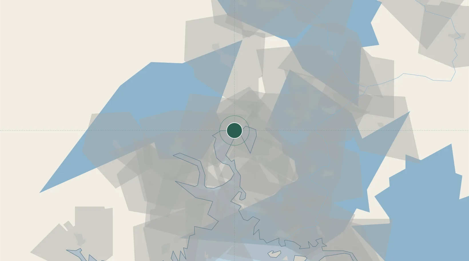
Nearby Logistics Neighbours

Cities
  1. 1Fornebu2 km
  2. 2Lysaker2 km
  3. 3Sandvika6 km
  4. 4Slependen7 km
  5. 5Sjursøja/Oslo8 km
Nearest neighbours — logibook spatial index (haversine) over the source coordinates
Ports
  1. 1Oslo7 km
  2. 2Fagerstrand17 km
  3. 3Drobak25 km
  4. 4Drammen26 km
  5. 5Svelvik31 km
Nearest neighbours — logibook spatial index (haversine) over the source coordinates
Airports
  1. 1Oslo-Gardermoen International Airport44 km
  2. 2Moss Airport, Rygge57 km
  3. 3Sandefjord Airport, Torp80 km
  4. 4Notodden Airport86 km
  5. 5Skien Airport98 km
Nearest neighbours — logibook spatial index (haversine) over the source coordinates
Trade Zones
  1. 1Gothenburg Boundless Customs Warehouse252 km
  2. 2Jönköping Free Zone309 km
  3. 3Stockholm Free Zone426 km
  4. 4Freeport of Copenhagen- Nordhavn478 km
  5. 5MTS Malmö Transport and Spedition498 km
Nearest neighbours — logibook spatial index (haversine) over the source coordinates
DatabookThe Record of Consolidated Knowledge
Norway beyond logistics?
Browse databook

All Sources

LocationsUN/LOCODE
UN/LOCODE — free
Portsthe NGA World Port Index
Public domain (US gov)
AirportsOurAirports
Public domain
Trade Zonesthe World Bank SEZ database
CC BY 4.0
Trade ZonesOpen Zone Map
CC BY
← Norway locations