UN/LOCODE hub · Norway
NOOSL
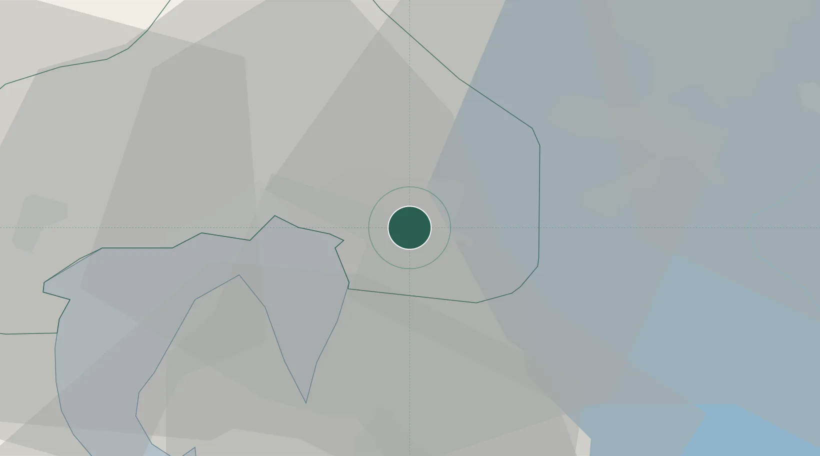
Oslo
59.9007°, 10.8142°
1,082,575
Population
5
Transport functions
2
Container terminals
Transport Functions
Port
Rail
Road
Airport
Postal
Hub Profile
Place type
National capital
Region
Oslo
Population
1,082,575
Time zone
Europe/Oslo
Elevation
26 m
Logistics facilities
10
Container terminals
2
Location
Nearby Logistics Neighbours
Cities
- 1Sjursøja/Oslo3 km
- 2Lørenskog8 km
- 3Fornebu11 km
- 4Snarøya11 km
- 5Strømmen12 km
Ports
- 1Fagerstrand23 km
- 2Drobak29 km
- 3Drammen37 km
- 4Svelvik39 km
- 5Tofte42 km
Airports
- 1Oslo-Gardermoen International Airport36 km
- 2Moss Airport, Rygge58 km
- 3Sandefjord Airport, Torp85 km
- 4Notodden Airport97 km
- 5Skien Airport106 km
Trade Zones
DatabookThe Record of Consolidated Knowledge
Norway beyond logistics?