Transport Functions
Multimodal
Hub Profile
Place type
Locality
Region
Akershus
Time zone
Europe/Oslo
Elevation
13 m
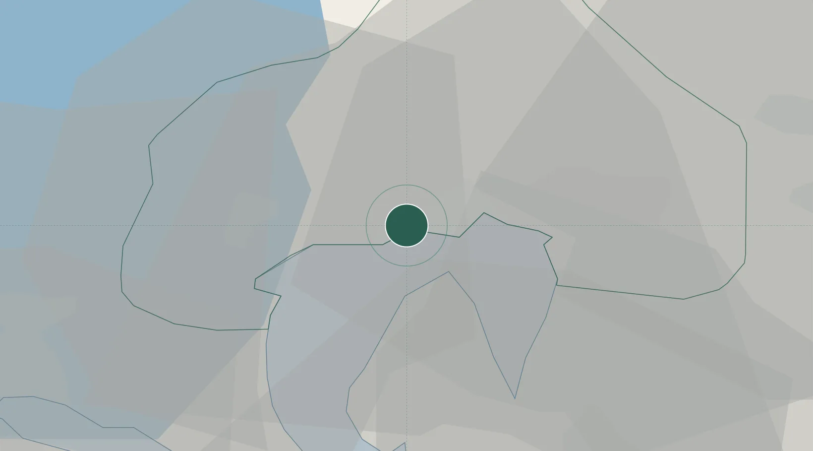
Location
Nearby Logistics Neighbours
Ports
- 1Oslo7 km
- 2Fagerstrand19 km
- 3Drobak27 km
- 4Drammen28 km
- 5Svelvik33 km
Airports
- 1Oslo-Gardermoen International Airport42 km
- 2Moss Airport, Rygge59 km
- 3Sandefjord Airport, Torp82 km
- 4Notodden Airport87 km
- 5Skien Airport99 km
Trade Zones
DatabookThe Record of Consolidated Knowledge
Norway beyond logistics?