UN/LOCODE hub · Norway
NOSJU

Sjursøja/Oslo

59.8833°, 10.7667°
2
Transport functions

Transport Functions

Port
Road
UN/LOCODE

Hub Profile

Region
03
GeoNames

Location

Location of NOSJU
Natural Earth 10m (public domain) · 03 · NOSJU · 59.88, 10.77GoogleOSMYandex

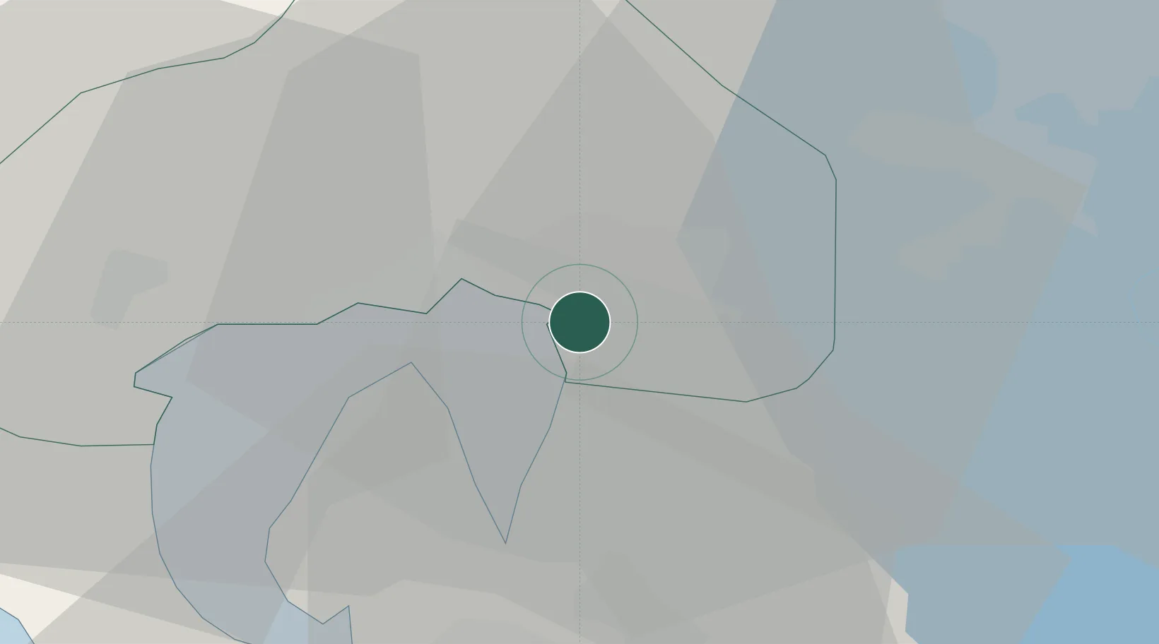
Nearby Logistics Neighbours

Cities
  1. 1Oslo3 km
  2. 2Snarøya8 km
  3. 3Fornebu9 km
  4. 4Lysaker10 km
  5. 5Lørenskog11 km
Nearest neighbours — logibook spatial index (haversine) over the source coordinates
Ports
  1. 1Oslo2 km
  2. 2Fagerstrand20 km
  3. 3Drobak26 km
  4. 4Drammen33 km
  5. 5Svelvik35 km
Nearest neighbours — logibook spatial index (haversine) over the source coordinates
Airports
  1. 1Oslo-Gardermoen International Airport39 km
  2. 2Moss Airport, Rygge56 km
  3. 3Sandefjord Airport, Torp83 km
  4. 4Notodden Airport94 km
  5. 5Skien Airport103 km
Nearest neighbours — logibook spatial index (haversine) over the source coordinates
Trade Zones
  1. 1Gothenburg Boundless Customs Warehouse250 km
  2. 2Jönköping Free Zone303 km
  3. 3Stockholm Free Zone417 km
  4. 4Freeport of Copenhagen- Nordhavn476 km
  5. 5MTS Malmö Transport and Spedition495 km
Nearest neighbours — logibook spatial index (haversine) over the source coordinates
DatabookThe Record of Consolidated Knowledge
Norway beyond logistics?
Browse databook

All Sources

LocationsUN/LOCODE
UN/LOCODE — free
Portsthe NGA World Port Index
Public domain (US gov)
AirportsOurAirports
Public domain
Trade Zonesthe World Bank SEZ database
CC BY 4.0
Trade ZonesOpen Zone Map
CC BY
← Norway locations