Transport Functions
Rail
Road
Hub Profile
Region
02
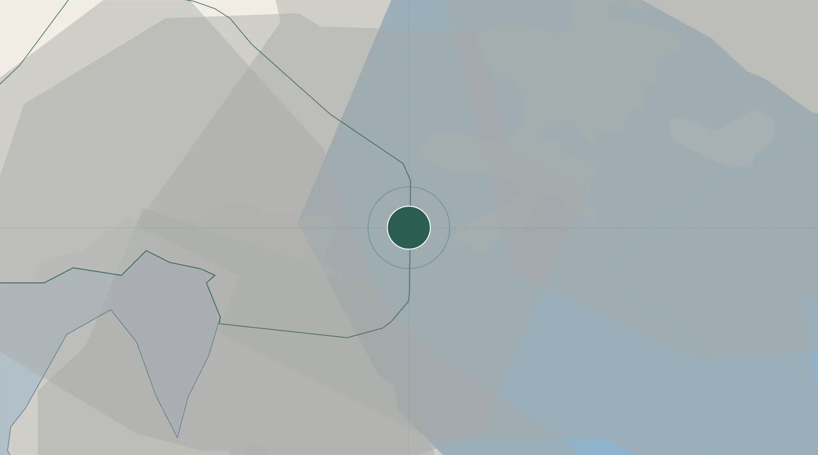
Location
Nearby Logistics Neighbours
Cities
- 1Strømmen4 km
- 2Rud7 km
- 3Oslo8 km
- 4Sjursøja/Oslo11 km
- 5Frogner13 km
Ports
- 1Oslo11 km
- 2Fagerstrand30 km
- 3Drobak35 km
- 4Drammen44 km
- 5Svelvik45 km
Airports
- 1Oslo-Gardermoen International Airport30 km
- 2Moss Airport, Rygge62 km
- 3Sandefjord Airport, Torp91 km
- 4Notodden Airport105 km
- 5Skien Airport113 km
Trade Zones
DatabookThe Record of Consolidated Knowledge
Norway beyond logistics?