UN/LOCODE hub · Norway
NOMSS
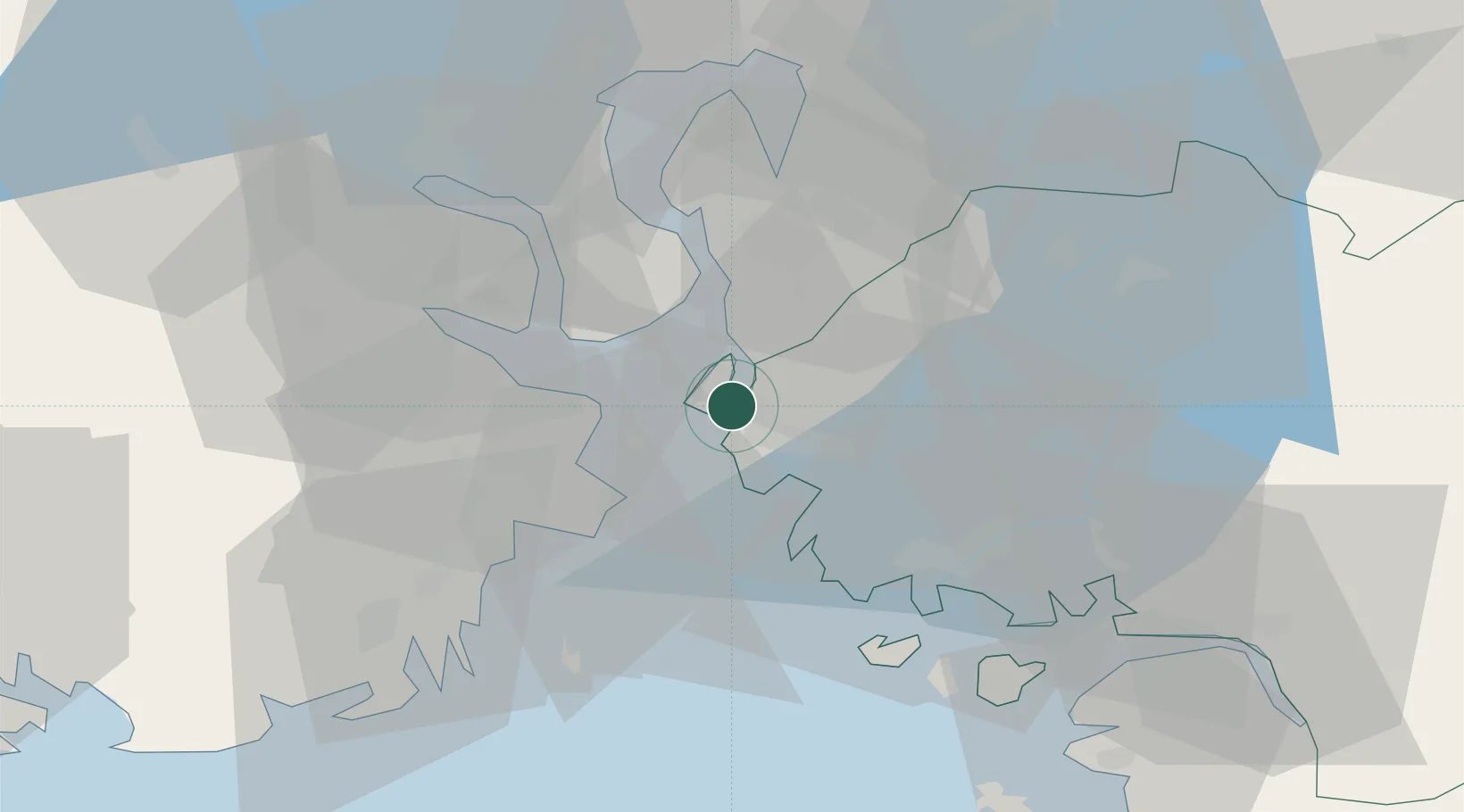
Moss
59.4269°, 10.6572°
49,668
Population
3
Transport functions
1
Container terminals
Transport Functions
Port
Rail
Road
Hub Profile
Place type
Provincial seat
Region
Østfold
Population
49,668
Time zone
Europe/Oslo
Elevation
17 m
Logistics facilities
1
Container terminals
1
Location
Nearby Logistics Neighbours
Cities
- 1Mosterhamn0 km
- 2Kambo5 km
- 3Sperrebotn9 km
- 4Horten10 km
- 5Larkollen10 km
Ports
- 1Kambo5 km
- 2Horten9 km
- 3Slagenstangen14 km
- 4Tofte14 km
- 5Holmestrand20 km
Airports
- 1Moss Airport, Rygge9 km
- 2Sandefjord Airport, Torp35 km
- 3Skien Airport68 km
- 4Notodden Airport83 km
- 5Oslo-Gardermoen International Airport89 km
Trade Zones
DatabookThe Record of Consolidated Knowledge
Norway beyond logistics?