UN/LOCODE hub · Norway
NOKMO

Kambo

59.4667°, 10.6833°
3
Transport functions

Transport Functions

Port
Rail
Road
Kambo is also a profiled seaport →
UN/LOCODE

Hub Profile

Place type
Populated place
GeoNames
Region
Østfold
GeoNames
Time zone
Europe/Oslo
GeoNames
Elevation
30 m
GeoNames

Location

Location of NOKMO
Natural Earth 10m (public domain) · Østfold · NOKMO · 59.47, 10.68GoogleOSMYandex

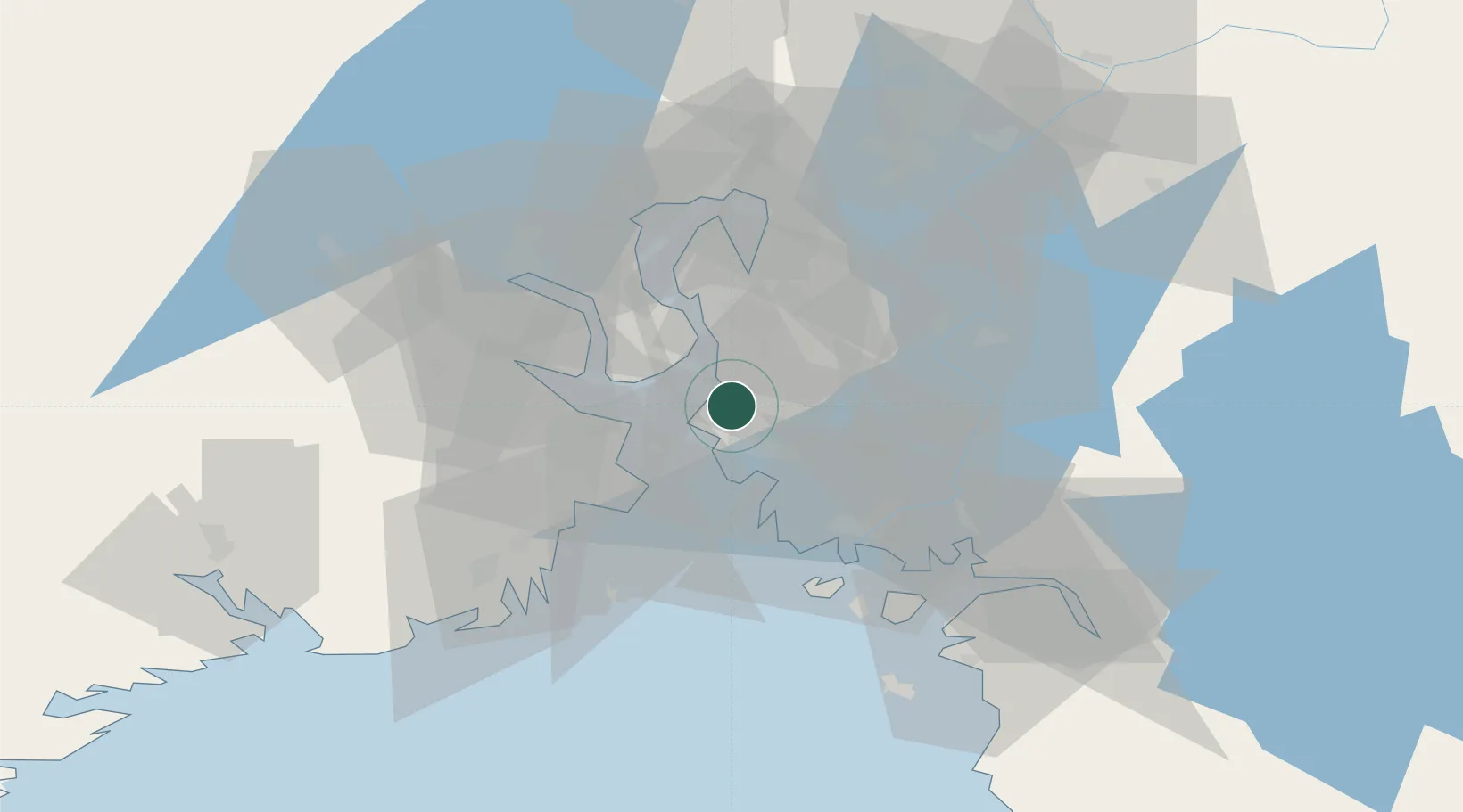
Nearby Logistics Neighbours

Cities
  1. 1Moss5 km
  2. 2Mosterhamn5 km
  3. 3Sperrebotn7 km
  4. 4Tofte - Hurum10 km
  5. 5Tofte11 km
Nearest neighbours — logibook spatial index (haversine) over the source coordinates
Ports
  1. 1Moss3 km
  2. 2Tofte11 km
  3. 3Horten12 km
  4. 4Slagenstangen18 km
  5. 5Holmestrand20 km
Nearest neighbours — logibook spatial index (haversine) over the source coordinates
Airports
  1. 1Moss Airport, Rygge11 km
  2. 2Sandefjord Airport, Torp39 km
  3. 3Skien Airport71 km
  4. 4Notodden Airport84 km
  5. 5Oslo-Gardermoen International Airport84 km
Nearest neighbours — logibook spatial index (haversine) over the source coordinates
Trade Zones
  1. 1Gothenburg Boundless Customs Warehouse206 km
  2. 2Jönköping Free Zone273 km
  3. 3Stockholm Free Zone420 km
  4. 4Freeport of Copenhagen- Nordhavn433 km
  5. 5MTS Malmö Transport and Spedition453 km
Nearest neighbours — logibook spatial index (haversine) over the source coordinates
DatabookThe Record of Consolidated Knowledge
Norway beyond logistics?
Browse databook

All Sources

LocationsUN/LOCODE
UN/LOCODE — free
Portsthe NGA World Port Index
Public domain (US gov)
AirportsOurAirports
Public domain
Trade Zonesthe World Bank SEZ database
CC BY 4.0
Trade ZonesOpen Zone Map
CC BY
← Norway locations