UN/LOCODE hub · Norway
NOKOL

Kollsnes Øst

60.9167°, 4.8833°
1
Transport functions

Transport Functions

Port
UN/LOCODE

Hub Profile

Region
12
GeoNames

Location

Location of NOKOL
Natural Earth 10m (public domain) · 12 · NOKOL · 60.92, 4.88GoogleOSMYandex

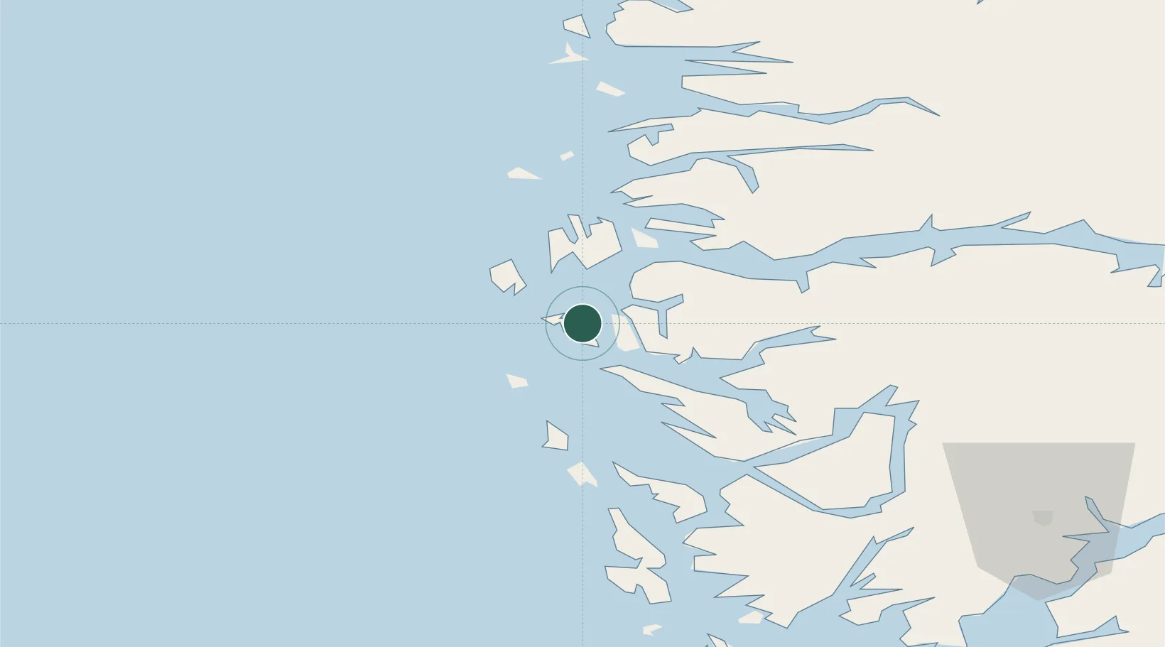
Nearby Logistics Neighbours

Cities
  1. 1Byrknesøy3 km
  2. 2Skipavik - Gulen11 km
  3. 3Fonnes12 km
  4. 4Sløvåg12 km
  5. 5Eivindvik13 km
Nearest neighbours — logibook spatial index (haversine) over the source coordinates
Ports
  1. 1Mongstad13 km
  2. 2Stura33 km
  3. 3Bergen62 km
  4. 4Brattholmen65 km
  5. 5Vaksdal67 km
Nearest neighbours — logibook spatial index (haversine) over the source coordinates
Airports
  1. 1Førde Airport, Bringeland71 km
  2. 2Bergen Airport, Flesland72 km
  3. 3Florø Airport75 km
  4. 4Sandane Airport, Anda121 km
  5. 5Sogndal Airport, Haukåsen124 km
Nearest neighbours — logibook spatial index (haversine) over the source coordinates
Trade Zones
  1. 1Gothenburg Boundless Customs Warehouse531 km
  2. 2Freeport of Copenhagen- Nordhavn732 km
  3. 3MTS Malmö Transport and Spedition760 km
  4. 4North Eastern Enterprise Zone764 km
  5. 5Tees Valley Enterprise Zone788 km
Nearest neighbours — logibook spatial index (haversine) over the source coordinates
DatabookThe Record of Consolidated Knowledge
Norway beyond logistics?
Browse databook

All Sources

LocationsUN/LOCODE
UN/LOCODE — free
Portsthe NGA World Port Index
Public domain (US gov)
AirportsOurAirports
Public domain
Trade Zonesthe World Bank SEZ database
CC BY 4.0
Trade ZonesOpen Zone Map
CC BY
← Norway locations