Seaport · Norway
MaloyNOMAY
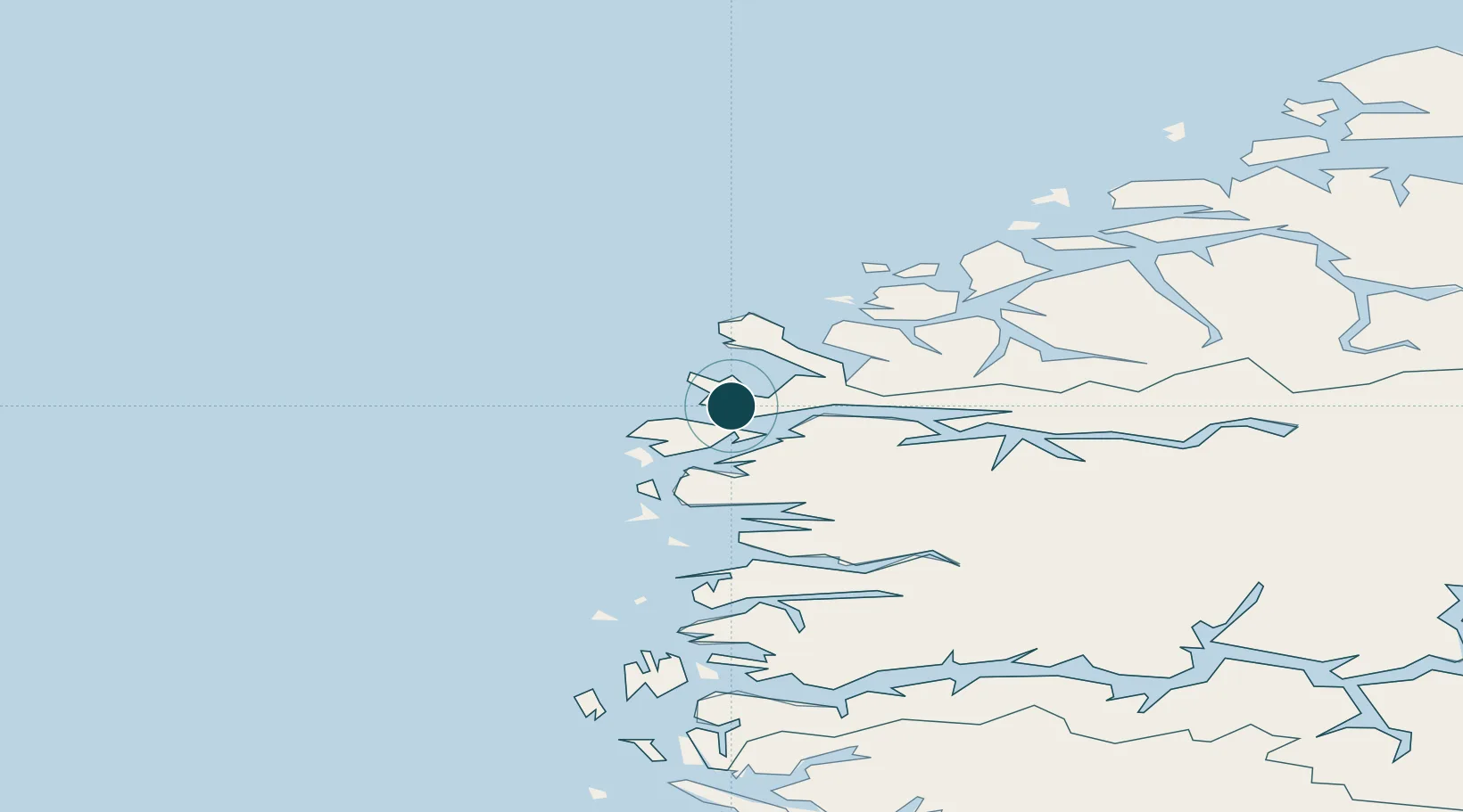
61.9333°, 5.1167°
23.2 m
Channel depth
2
Container terminals
32.7
Port liner connectivity
Channel & Berth Profile
Pilotage, Tugs & Services
Pilotage availableYES
Tug assistanceYES
Salvage tugsNO
Shore powerNO
Potable waterYES
MedicalYES
Garbage disposalYES
Facilities & Capabilities
ContainerYES
Ro-RoYES
Liquid bulkYES
Dry bulkYES
Oil terminalNO
Break bulkYES
Dry dock—
RepairsNO
BunkeringYES
Rail link—
Dangerous cargo—
ISPS security—
Harbour Specifications
Harbour size
Small
Harbour type
Coastal (Natural)
Shelter
Good
Water body
Norwegian Sea; North Atlantic Ocean
Tidal range
1 m
Overhead limit
Yes
Liner Connectivity
32.7
PLSCI
Port Liner Shipping Connectivity Index for Maloy, as published by UNCTAD for the latest available quarter. Higher values indicate stronger scheduled liner-shipping integration.
Shown relative to the highest per-port PLSCI in the dataset (1,657.9).
Location
Container Terminals · 2
INTERCOM TERMINAL MALOY
ICT BRING CARGO AS, AVD MALOY
BRING TROLLEBOE CONTAINER TERMINAL (TCT)
TCT BRING CARGO AS, AVD MALOY
Nearby Logistics Neighbours
Ports
- 1Floro37 km
- 2Moldtustranda49 km
- 3Orstav60 km
- 4Hareid68 km
- 5Alesund81 km
Cities
- 1Deknepollen3 km
- 2Vågsvåg4 km
- 3Raudeberg4 km
- 4Iglandsvik15 km
- 5Selje16 km
Airports
- 1Florø Airport39 km
- 2Sandane Airport, Anda53 km
- 3Ørsta-Volda Airport, Hovden57 km
- 4Førde Airport, Bringeland69 km
- 5Ålesund Airport87 km
Trade Zones
DatabookThe Record of Consolidated Knowledge
Norway beyond logistics?