Transport Functions
Port
Road
Hub Profile
Region
14
Logistics facilities
4
Container terminals
2
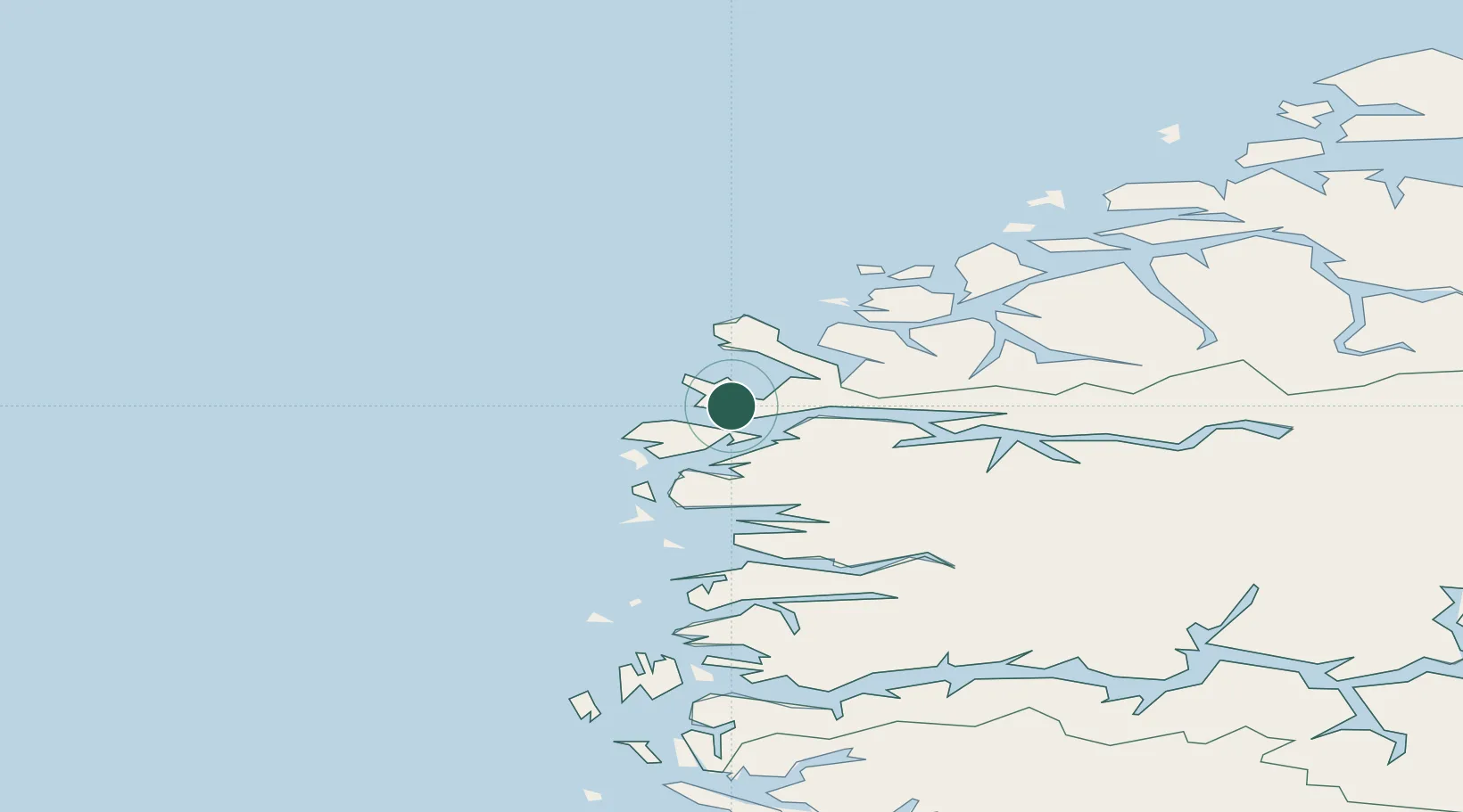
Location
Nearby Logistics Neighbours
Cities
- 1Deknepollen3 km
- 2Raudeberg3 km
- 3Vågsvåg4 km
- 4Selje15 km
- 5Iglandsvik16 km
Ports
- 1Floro38 km
- 2Moldtustranda48 km
- 3Orstav59 km
- 4Hareid67 km
- 5Alesund80 km
Airports
- 1Florø Airport40 km
- 2Sandane Airport, Anda53 km
- 3Ørsta-Volda Airport, Hovden56 km
- 4Førde Airport, Bringeland69 km
- 5Ålesund Airport86 km
Trade Zones
DatabookThe Record of Consolidated Knowledge
Norway beyond logistics?