Transport Functions
Multimodal
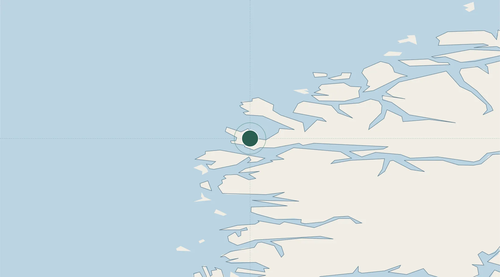
Hub Profile
Place type
Populated place
Region
Vestland
Population
715
Time zone
Europe/Oslo
Elevation
8 m
Location
Nearby Logistics Neighbours
Cities
- 1Måløy3 km
- 2Deknepollen6 km
- 3Vågsvåg6 km
- 4Selje13 km
- 5Kalvneset17 km
Ports
- 1Maloy4 km
- 2Floro41 km
- 3Moldtustranda46 km
- 4Orstav57 km
- 5Hareid65 km
Airports
- 1Florø Airport43 km
- 2Sandane Airport, Anda53 km
- 3Ørsta-Volda Airport, Hovden54 km
- 4Førde Airport, Bringeland72 km
- 5Ålesund Airport83 km
Trade Zones
DatabookThe Record of Consolidated Knowledge
Norway beyond logistics?