Transport Functions
Multimodal
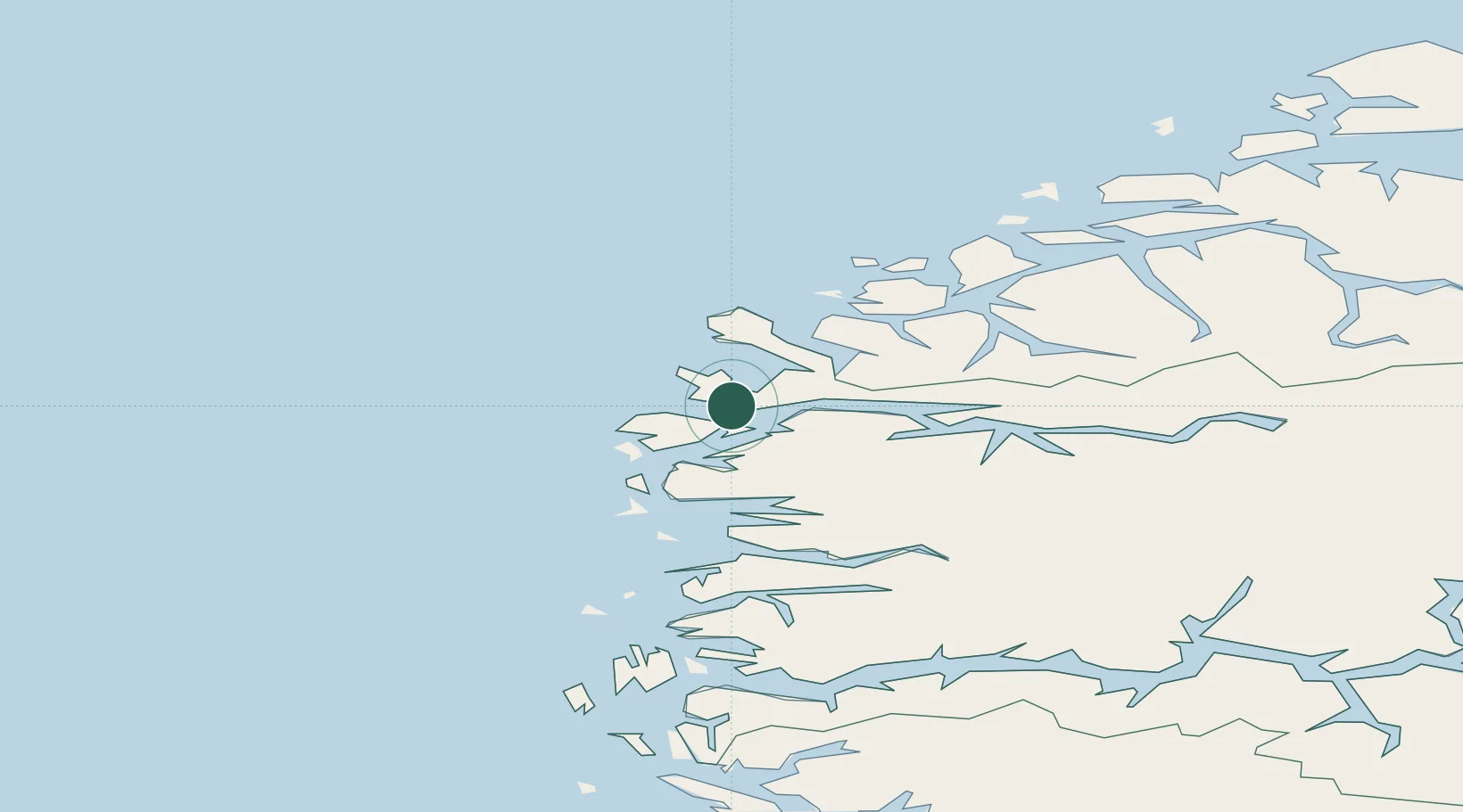
Hub Profile
Place type
Populated place
Region
Vestland
Time zone
Europe/Oslo
Elevation
180 m
Location
Nearby Logistics Neighbours
Cities
- 1Måløy3 km
- 2Vågsvåg6 km
- 3Raudeberg6 km
- 4Iglandsvik15 km
- 5Kalvneset16 km
Ports
- 1Maloy3 km
- 2Floro35 km
- 3Moldtustranda50 km
- 4Orstav59 km
- 5Hareid68 km
Airports
- 1Florø Airport38 km
- 2Sandane Airport, Anda51 km
- 3Ørsta-Volda Airport, Hovden56 km
- 4Førde Airport, Bringeland67 km
- 5Ålesund Airport87 km
Trade Zones
DatabookThe Record of Consolidated Knowledge
Norway beyond logistics?