Transport Functions
Port
Hub Profile
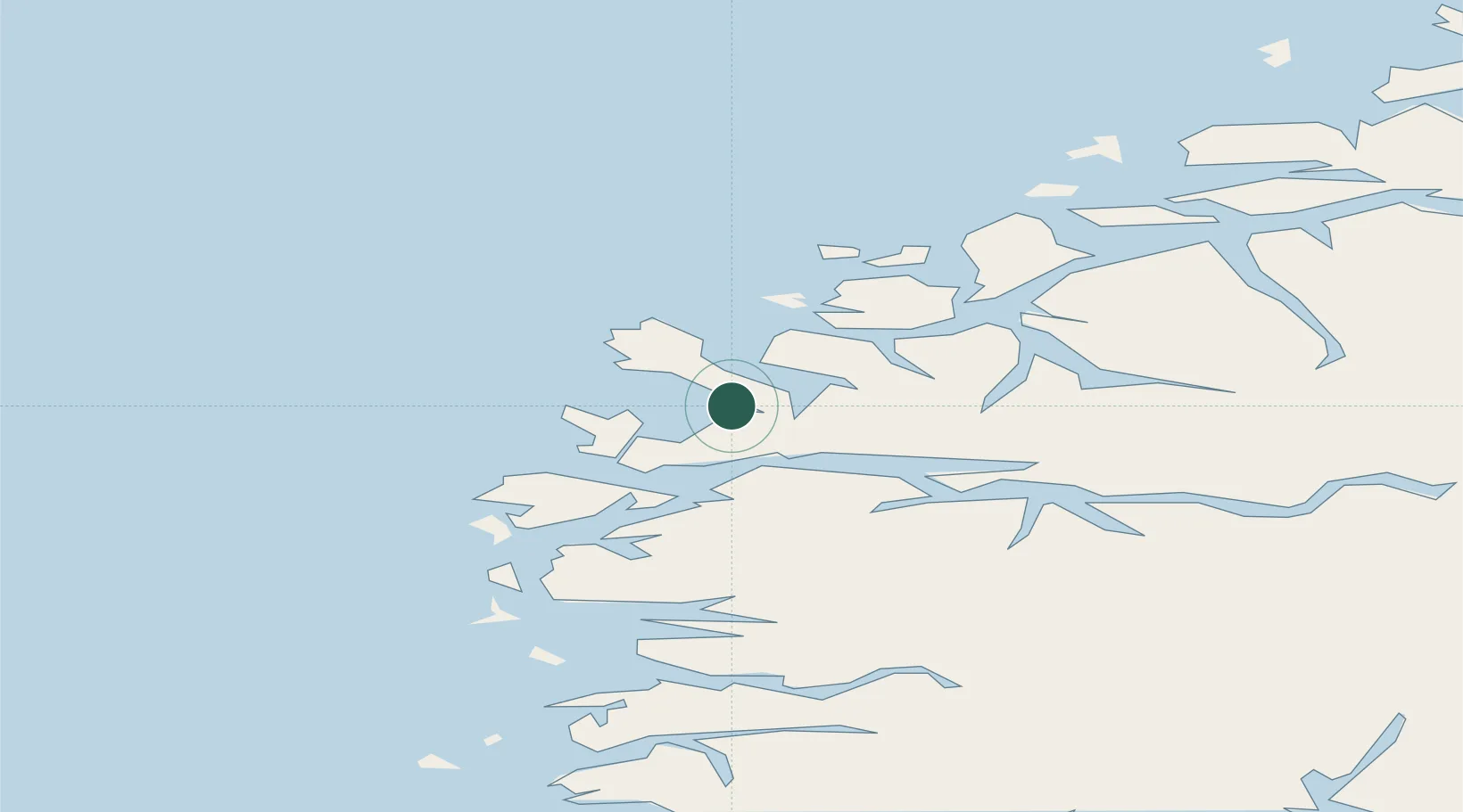
Place type
Populated place
Region
Vestland
Population
694
Time zone
Europe/Oslo
Location
Nearby Logistics Neighbours
Cities
- 1Åheim10 km
- 2Stadlandet11 km
- 3Kalvneset13 km
- 4Raudeberg13 km
- 5Fiskåbygd - Vanylven14 km
Ports
- 1Maloy16 km
- 2Moldtustranda34 km
- 3Orstav45 km
- 4Floro50 km
- 5Hareid52 km
Airports
- 1Ørsta-Volda Airport, Hovden42 km
- 2Sandane Airport, Anda46 km
- 3Florø Airport53 km
- 4Ålesund Airport71 km
- 5Førde Airport, Bringeland75 km
Trade Zones
DatabookThe Record of Consolidated Knowledge
Norway beyond logistics?