Transport Functions
Port
Hub Profile
Region
15
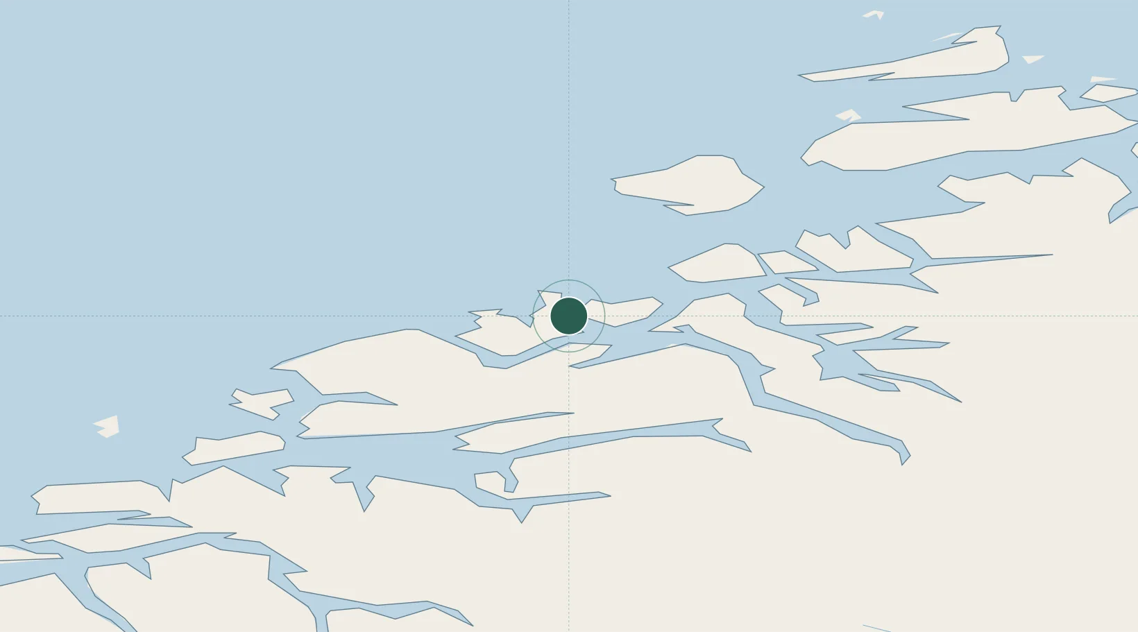
Location
Nearby Logistics Neighbours
Cities
- 1Kristiansund7 km
- 2Gjemnes10 km
- 3Ramsvika18 km
- 4Visnes - Eide18 km
- 5Grip19 km
Ports
- 1Kristiansund8 km
- 2Haroysund40 km
- 3Molde43 km
- 4Andalsnes54 km
- 5Sunndalsora61 km
Airports
- 1Kristiansund Airport, Kvernberget11 km
- 2Molde Airport, Årø40 km
- 3Ålesund Airport96 km
- 4Ørland Airport121 km
- 5Ørsta-Volda Airport, Hovden127 km
Trade Zones
- 1Gothenburg Boundless Customs Warehouse636 km
- 2Jönköping Free Zone685 km
- 3Freeport of Copenhagen- Nordhavn862 km
- 4MTS Malmö Transport and Spedition882 km
- 5Freeport of Kiel980 km
DatabookThe Record of Consolidated Knowledge
Norway beyond logistics?