Transport Functions
Port
Road
Hub Profile
Place type
Provincial seat
Region
Agder
Population
7,966
Time zone
Europe/Oslo
Elevation
7 m
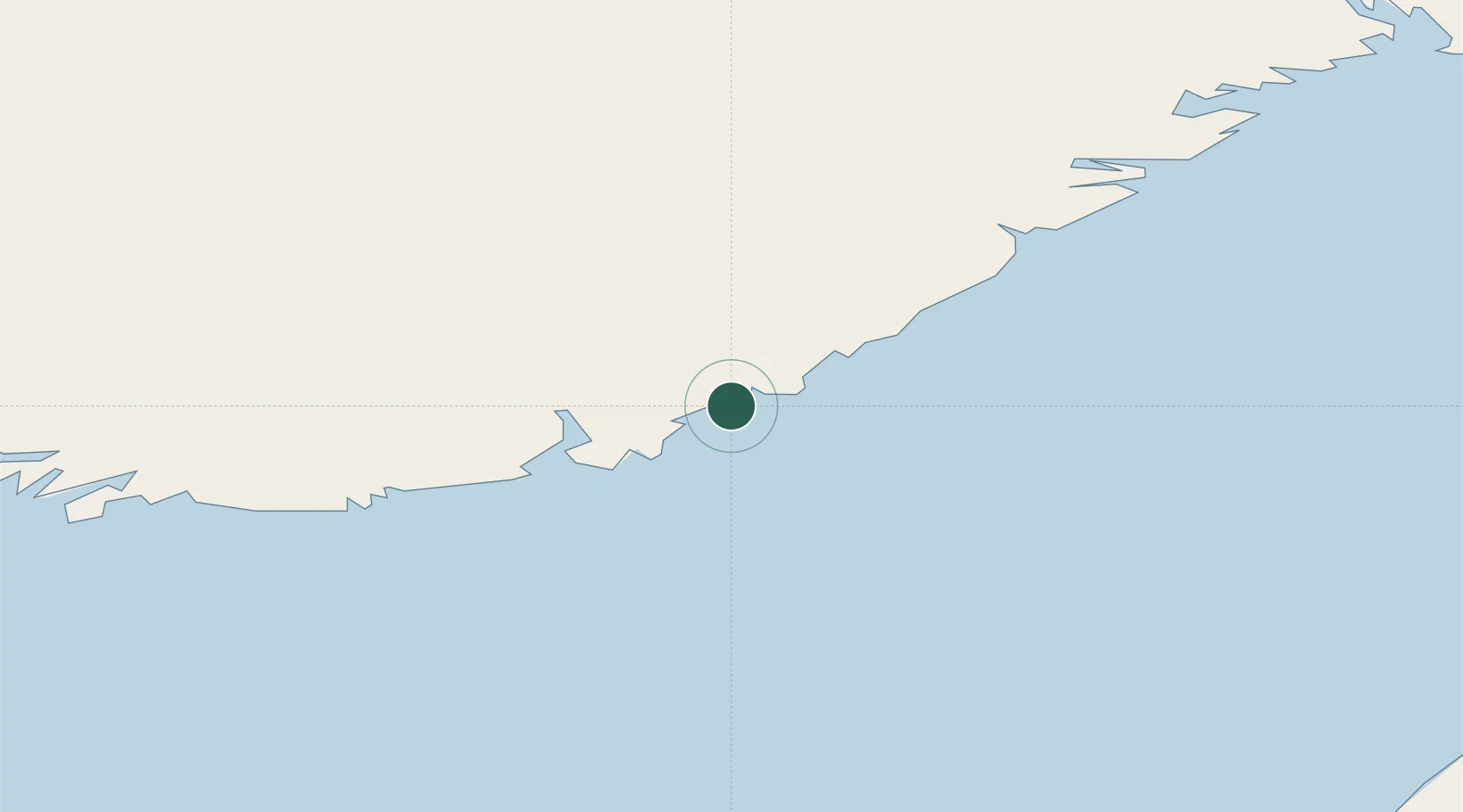
Location
Nearby Logistics Neighbours
Cities
- 1Grimstad17 km
- 2Ålefjær21 km
- 3Vikkilen21 km
- 4Kristiansand24 km
- 5Rykene24 km
Ports
- 1Kristiansand23 km
- 2Arendal34 km
- 3Tvedestrand54 km
- 4Mandal58 km
- 5Risor75 km
Airports
- 1Kristiansand Airport17 km
- 2Skien Airport127 km
- 3Thisted Airport131 km
- 4Sindal Airport137 km
- 5Sandefjord Airport, Torp152 km
Trade Zones
- 1Gothenburg Boundless Customs Warehouse212 km
- 2Jönköping Free Zone341 km
- 3Freeport of Copenhagen- Nordhavn380 km
- 4MTS Malmö Transport and Spedition409 km
- 5Freeport of Kiel448 km
DatabookThe Record of Consolidated Knowledge
Norway beyond logistics?