Transport Functions
Road
Multimodal
Hub Profile
Region
10
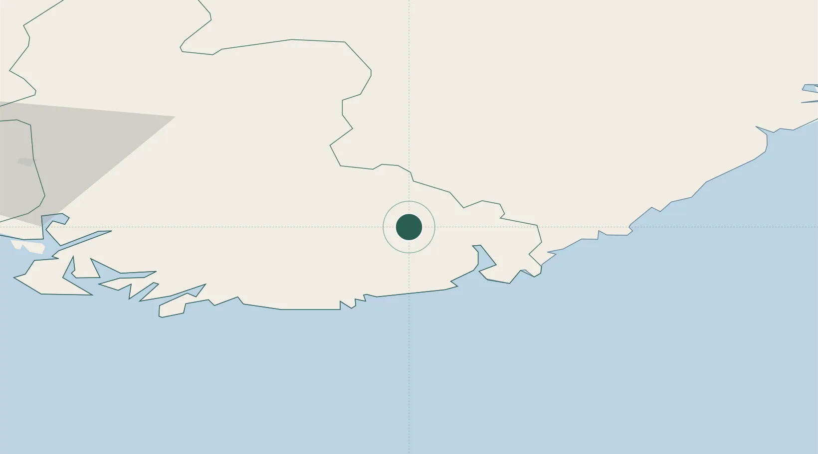
Location
Nearby Logistics Neighbours
Cities
- 1Ålefjær14 km
- 2Kristiansand20 km
- 3Høllen22 km
- 4Søgne22 km
- 5Byremo28 km
Ports
- 1Kristiansand20 km
- 2Mandal36 km
- 3Arendal60 km
- 4Farsund63 km
- 5Flekkefjorden67 km
Airports
- 1Kristiansand Airport19 km
- 2Stavanger Airport, Sola142 km
- 3Skien Airport143 km
- 4Thisted Airport145 km
- 5Notodden Airport164 km
Trade Zones
- 1Gothenburg Boundless Customs Warehouse245 km
- 2Jönköping Free Zone375 km
- 3Freeport of Copenhagen- Nordhavn407 km
- 4MTS Malmö Transport and Spedition438 km
- 5Freeport of Kiel463 km
DatabookThe Record of Consolidated Knowledge
Norway beyond logistics?