UN/LOCODE hub · Norway
NOALE

Ålefjær

58.2333°, 8.0167°
1
Transport functions

Transport Functions

Port
UN/LOCODE

Hub Profile

Region
10
GeoNames

Location

Location of NOALE
Natural Earth 10m (public domain) · 10 · NOALE · 58.23, 8.02GoogleOSMYandex

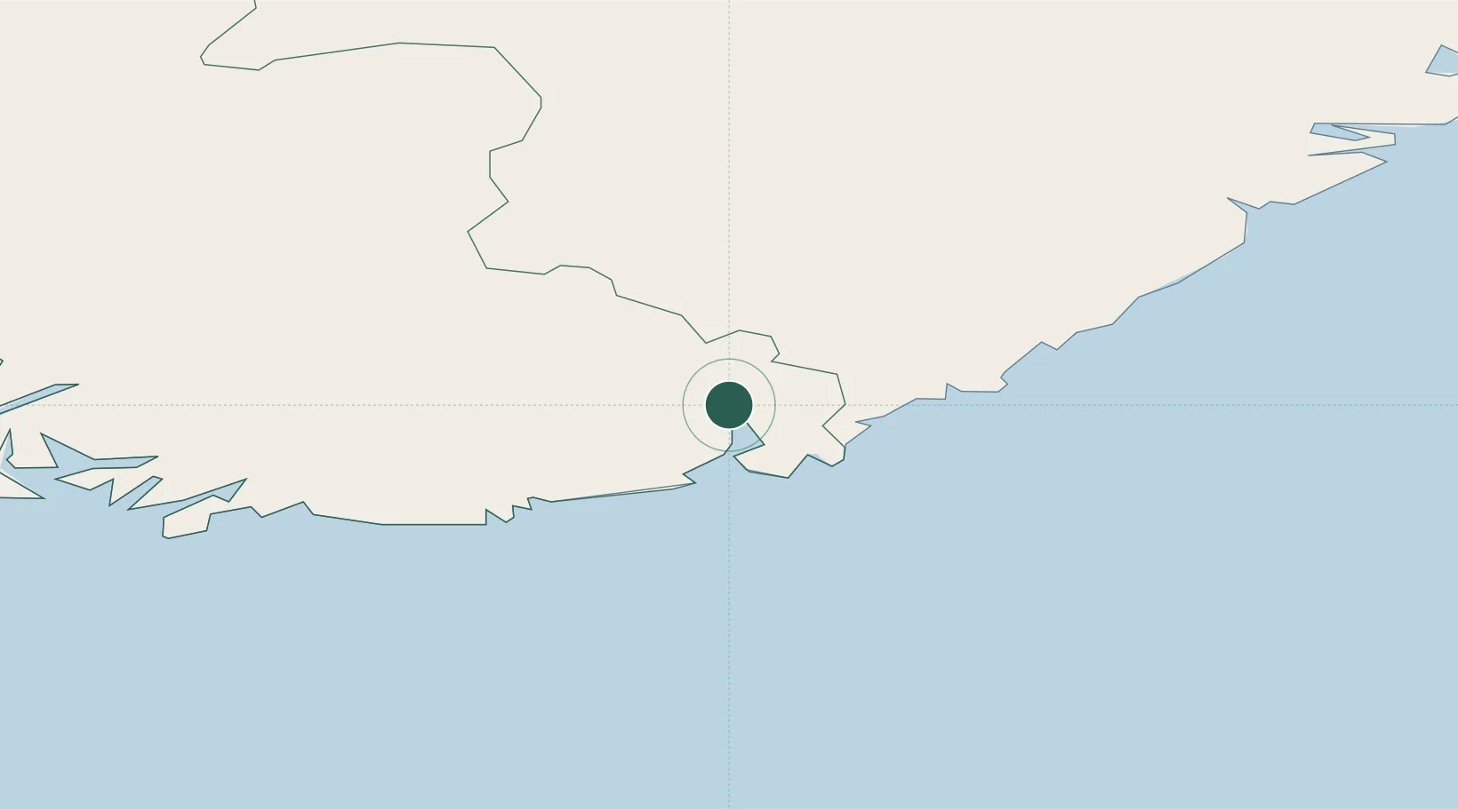
Nearby Logistics Neighbours

Cities
  1. 1Kristiansand10 km
  2. 2Øvrebø14 km
  3. 3Høllen20 km
  4. 4Søgne20 km
  5. 5Lillesand21 km
Nearest neighbours — logibook spatial index (haversine) over the source coordinates
Ports
  1. 1Kristiansand11 km
  2. 2Mandal40 km
  3. 3Arendal51 km
  4. 4Tvedestrand68 km
  5. 5Farsund74 km
Nearest neighbours — logibook spatial index (haversine) over the source coordinates
Airports
  1. 1Kristiansand Airport5 km
  2. 2Thisted Airport136 km
  3. 3Skien Airport139 km
  4. 4Sindal Airport154 km
  5. 5Notodden Airport163 km
Nearest neighbours — logibook spatial index (haversine) over the source coordinates
Trade Zones
  1. 1Gothenburg Boundless Customs Warehouse231 km
  2. 2Jönköping Free Zone362 km
  3. 3Freeport of Copenhagen- Nordhavn394 km
  4. 4MTS Malmö Transport and Spedition424 km
  5. 5Freeport of Kiel454 km
Nearest neighbours — logibook spatial index (haversine) over the source coordinates
DatabookThe Record of Consolidated Knowledge
Norway beyond logistics?
Browse databook

All Sources

LocationsUN/LOCODE
UN/LOCODE — free
Portsthe NGA World Port Index
Public domain (US gov)
AirportsOurAirports
Public domain
Trade Zonesthe World Bank SEZ database
CC BY 4.0
Trade ZonesOpen Zone Map
CC BY
← Norway locations