Transport Functions
Port
Hub Profile
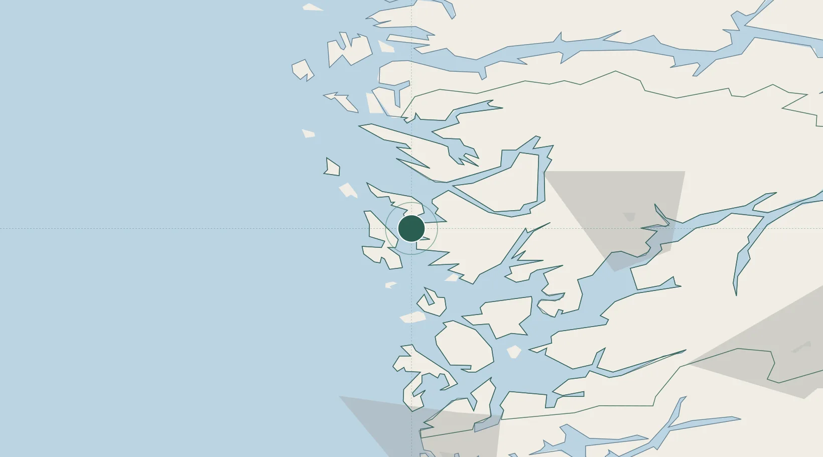
Place type
Populated place
Region
Vestland
Time zone
Europe/Oslo
Elevation
1 m
Location
Nearby Logistics Neighbours
Cities
- 1Brattholmen2 km
- 2Skarholmen5 km
- 3Skålevik5 km
- 4Florvåg7 km
- 5Kleppestø7 km
Ports
- 1Brattholmen3 km
- 2Haakonsvern6 km
- 3Bergen9 km
- 4Stura33 km
- 5Vaksdal34 km
Airports
- 1Bergen Airport, Flesland9 km
- 2Stord Airport, Sørstokken65 km
- 3Haugesund Airport, Karmøy114 km
- 4Førde Airport, Bringeland119 km
- 5Florø Airport136 km
Trade Zones
DatabookThe Record of Consolidated Knowledge
Norway beyond logistics?