UN/LOCODE hub · Norway
NOSKV

Skålevik

60.3833°, 5.2333°
2,599
Population
2
Transport functions

Transport Functions

Port
Road
UN/LOCODE

Hub Profile

Place type
Locality
GeoNames
Region
Agder
GeoNames
Population
2,599
GeoNames
Time zone
Europe/Oslo
GeoNames
Elevation
7 m
GeoNames

Location

Location of NOSKV
Natural Earth 10m (public domain) · Agder · NOSKV · 60.38, 5.23GoogleOSMYandex

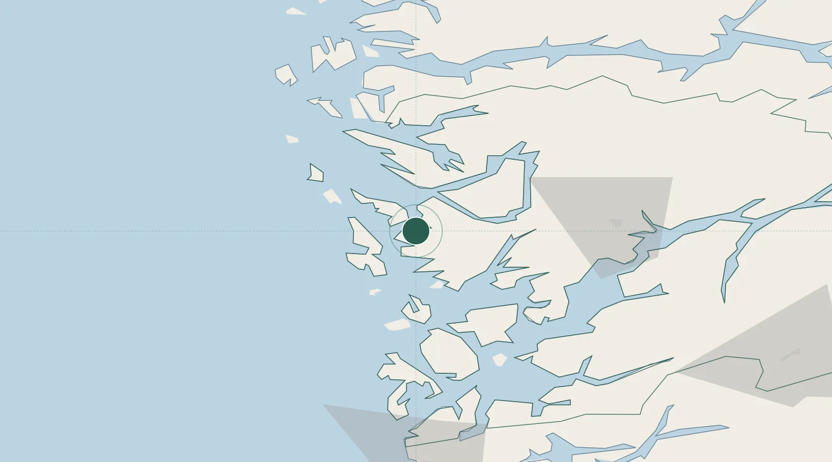
Nearby Logistics Neighbours

Cities
  1. 1Skarholmen3 km
  2. 2Laksevåg4 km
  3. 3Florvåg4 km
  4. 4Kleppestø4 km
  5. 5Bergen4 km
Nearest neighbours — logibook spatial index (haversine) over the source coordinates
Ports
  1. 1Bergen4 km
  2. 2Brattholmen5 km
  3. 3Haakonsvern6 km
  4. 4Vaksdal29 km
  5. 5Stura33 km
Nearest neighbours — logibook spatial index (haversine) over the source coordinates
Airports
  1. 1Bergen Airport, Flesland10 km
  2. 2Stord Airport, Sørstokken66 km
  3. 3Haugesund Airport, Karmøy115 km
  4. 4Førde Airport, Bringeland116 km
  5. 5Florø Airport134 km
Nearest neighbours — logibook spatial index (haversine) over the source coordinates
Trade Zones
  1. 1Gothenburg Boundless Customs Warehouse479 km
  2. 2Freeport of Copenhagen- Nordhavn676 km
  3. 3MTS Malmö Transport and Spedition704 km
  4. 4North Eastern Enterprise Zone727 km
  5. 5Freeport of Kiel735 km
Nearest neighbours — logibook spatial index (haversine) over the source coordinates
DatabookThe Record of Consolidated Knowledge
Norway beyond logistics?
Browse databook

All Sources

LocationsUN/LOCODE
UN/LOCODE — free
LocationsGeoNames
CC BY 4.0
Portsthe NGA World Port Index
Public domain (US gov)
AirportsOurAirports
Public domain
Trade Zonesthe World Bank SEZ database
CC BY 4.0
Trade ZonesOpen Zone Map
CC BY
← Norway locations