UN/LOCODE hub · Norway
NOUME

Straume

60.3167°, 5.2833°
1
Transport functions

Transport Functions

Port
UN/LOCODE

Hub Profile

Place type
Populated place
GeoNames
Region
Vestland
GeoNames
Time zone
Europe/Oslo
GeoNames
Elevation
3 m
GeoNames

Location

Location of NOUME
Natural Earth 10m (public domain) · Vestland · NOUME · 60.32, 5.28GoogleOSMYandex

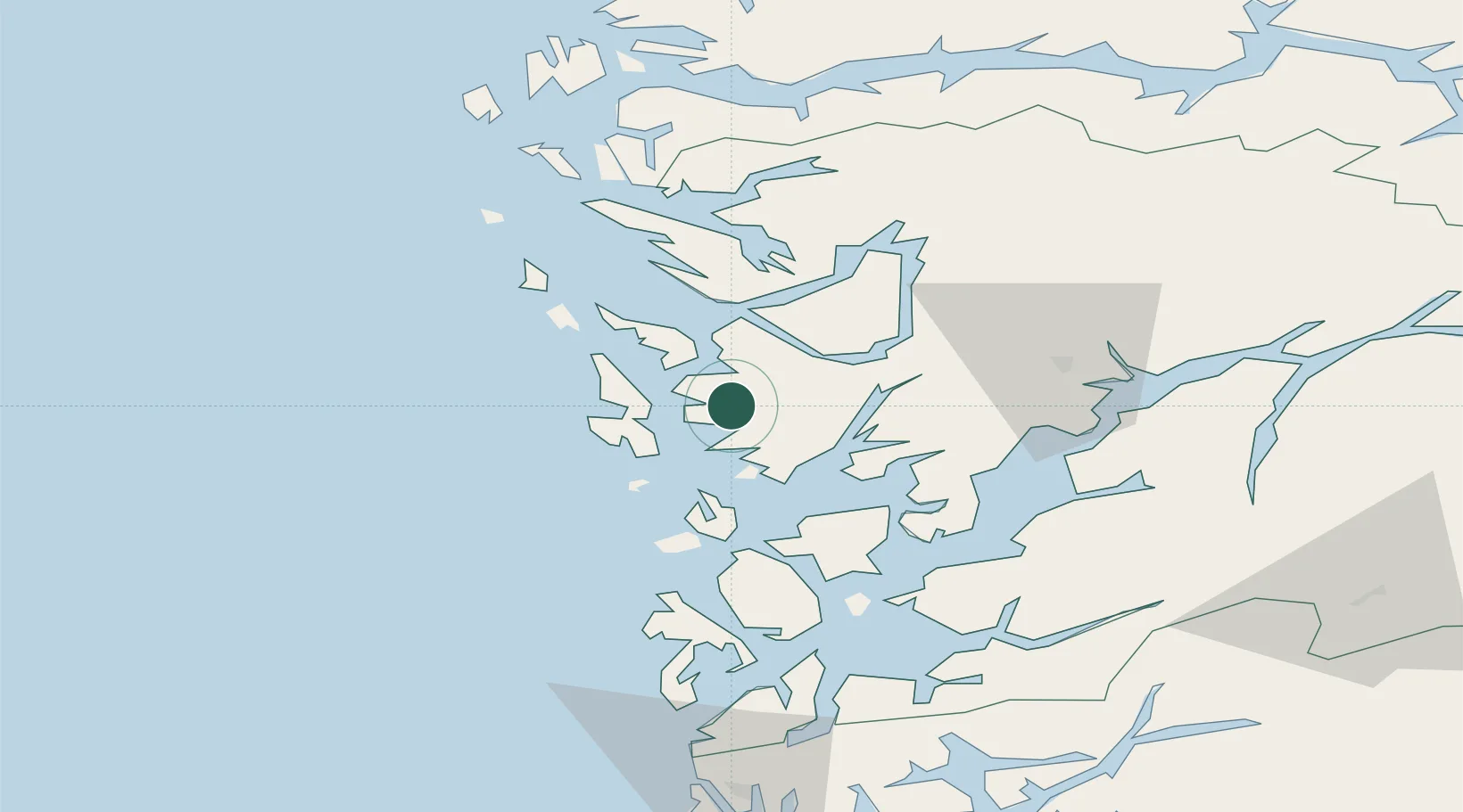
Nearby Logistics Neighbours

Cities
  1. 1Kokstad2 km
  2. 2Laksevåg8 km
  3. 3Skålevik8 km
  4. 4Bergen8 km
  5. 5Brattholmen8 km
Nearest neighbours — logibook spatial index (haversine) over the source coordinates
Ports
  1. 1Haakonsvern3 km
  2. 2Brattholmen7 km
  3. 3Bergen10 km
  4. 4Vaksdal31 km
  5. 5Stura41 km
Nearest neighbours — logibook spatial index (haversine) over the source coordinates
Airports
  1. 1Bergen Airport, Flesland4 km
  2. 2Stord Airport, Sørstokken58 km
  3. 3Haugesund Airport, Karmøy108 km
  4. 4Førde Airport, Bringeland122 km
  5. 5Sogndal Airport, Haukåsen137 km
Nearest neighbours — logibook spatial index (haversine) over the source coordinates
Trade Zones
  1. 1Gothenburg Boundless Customs Warehouse473 km
  2. 2Freeport of Copenhagen- Nordhavn668 km
  3. 3MTS Malmö Transport and Spedition697 km
  4. 4North Eastern Enterprise Zone722 km
  5. 5Freeport of Kiel727 km
Nearest neighbours — logibook spatial index (haversine) over the source coordinates
DatabookThe Record of Consolidated Knowledge
Norway beyond logistics?
Browse databook

All Sources

LocationsUN/LOCODE
UN/LOCODE — free
Portsthe NGA World Port Index
Public domain (US gov)
AirportsOurAirports
Public domain
Trade Zonesthe World Bank SEZ database
CC BY 4.0
Trade ZonesOpen Zone Map
CC BY
← Norway locations