Seaport · Norway

ArdalstangenNOARD

61.2328°, 7.6986°
23.2 m
Channel depth
11.0
Port liner connectivity
Ardalstangen is also a UN/LOCODE logistics hub →

Channel & Berth Profile

SEA LEVEL (CD)CHANNEL BEDCargo pier · 7.9 mChannel · 23.2 mAnchorage · 23.2 m
NGA World Port Index

Pilotage, Tugs & Services

Pilotage compulsoryYES
Pilotage availableYES
Tug assistanceYES
Potable waterYES
MedicalYES
Garbage disposalYES
NGA World Port Index

Facilities & Capabilities

Container
Ro-Ro
Liquid bulk
Dry bulk
Oil terminal
Break bulk
Dry dock
Repairs
Bunkering
Rail link
Dangerous cargo
ISPS security
NGA World Port Index

Harbour Specifications

Harbour size
Very Small
NGA World Port Index
Harbour type
River (Natural)
NGA World Port Index
Shelter
Fair
NGA World Port Index
Water body
Norwegian Sea; North Atlantic Ocean
NGA World Port Index
Overhead limit
No
NGA World Port Index
Pilotage
Yes
NGA World Port Index

Liner Connectivity

11
PLSCI

Port Liner Shipping Connectivity Index for Ardalstangen, as published by UNCTAD for the latest available quarter. Higher values indicate stronger scheduled liner-shipping integration.

Shown relative to the highest per-port PLSCI in the dataset (1,657.9).
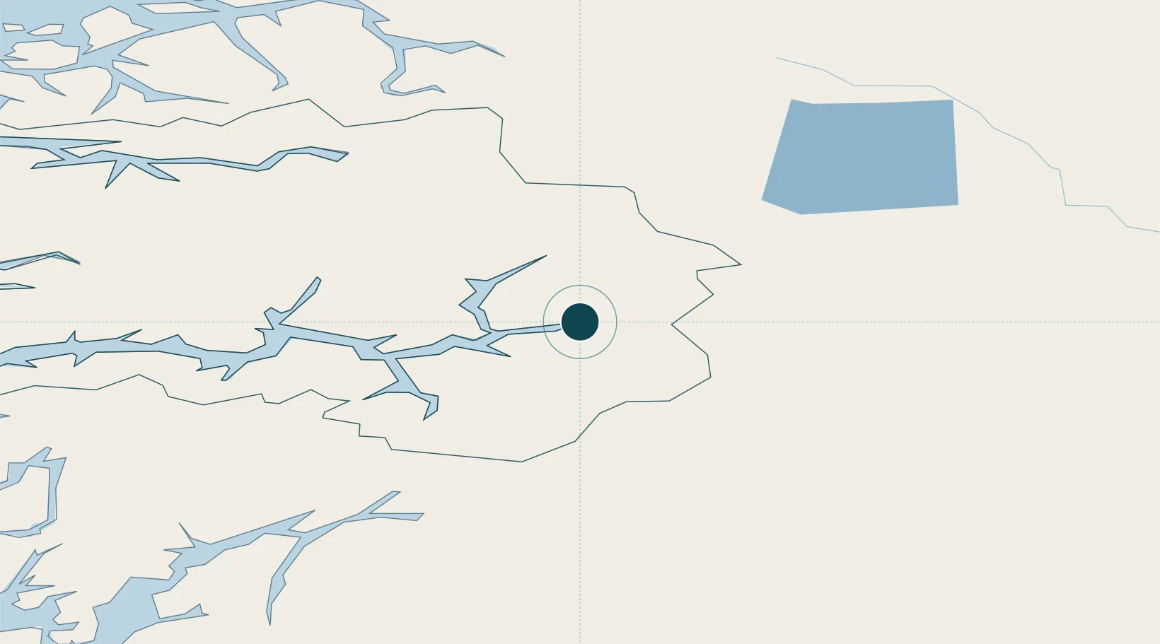
UNCTAD · Port Liner Shipping Connectivity Index

Location

Location of NOARD
Natural Earth 10m (public domain) · Sogn og Fjordane · NOARD · 61.23, 7.70GoogleOSMYandex

Nearby Logistics Neighbours

Ports
  1. 1Norheimsund128 km
  2. 2Vaksdal136 km
  3. 3Orstav136 km
  4. 4Odda141 km
  5. 5Floro148 km
Nearest neighbours — logibook spatial index (haversine) over the source coordinates
Cities
  1. 1Lærdal20 km
  2. 2Luster26 km
  3. 3Kaupanger26 km
  4. 4Gaupne28 km
  5. 5Skjolden29 km
Nearest neighbours — logibook spatial index (haversine) over the source coordinates
Airports
  1. 1Sogndal Airport, Haukåsen31 km
  2. 2Førde Airport, Bringeland105 km
  3. 3Sandane Airport, Anda107 km
  4. 4Ørsta-Volda Airport, Hovden136 km
  5. 5Florø Airport148 km
Nearest neighbours — logibook spatial index (haversine) over the source coordinates
Trade Zones
  1. 1Gothenburg Boundless Customs Warehouse456 km
  2. 2Jönköping Free Zone528 km
  3. 3Freeport of Copenhagen- Nordhavn676 km
  4. 4MTS Malmö Transport and Spedition700 km
  5. 5Freeport of Kiel781 km
Nearest neighbours — logibook spatial index (haversine) over the source coordinates
DatabookThe Record of Consolidated Knowledge
Norway beyond logistics?
Browse databook

All Sources

Portsthe NGA World Port Index
Public domain (US gov)
Logistics performanceUNCTAD
CC BY 3.0 IGO
AirportsOurAirports
Public domain
LocationsUN/LOCODE
UN/LOCODE — free
Trade Zonesthe World Bank SEZ database
CC BY 4.0
Trade ZonesOpen Zone Map
CC BY
← Norway ports