Transport Functions
Port
Road
Hub Profile
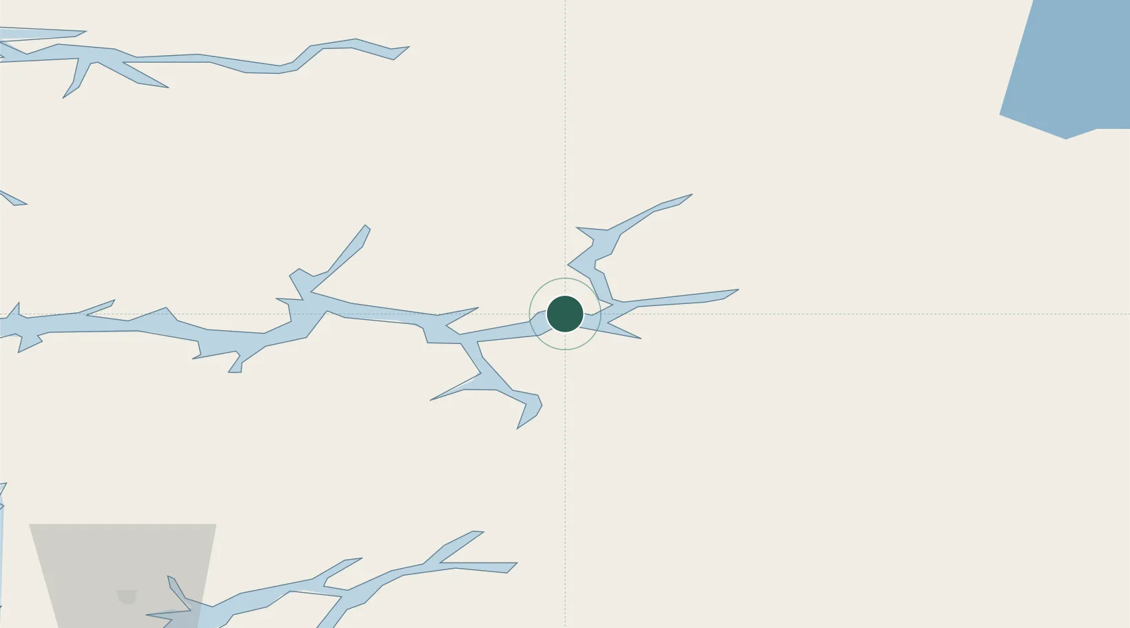
Place type
Populated place
Region
Vestland
Population
892
Time zone
Europe/Oslo
Elevation
240 m
Location
Nearby Logistics Neighbours
Cities
- 1Sogndal9 km
- 2Lærdal14 km
- 3Hermansverk22 km
- 4Årdalstangen26 km
- 5Gaupne26 km
Ports
- 1Ardalstangen26 km
- 2Norheimsund107 km
- 3Vaksdal112 km
- 4Mongstad124 km
- 5Odda125 km
Airports
- 1Sogndal Airport, Haukåsen5 km
- 2Førde Airport, Bringeland83 km
- 3Sandane Airport, Anda95 km
- 4Florø Airport127 km
- 5Ørsta-Volda Airport, Hovden128 km
Trade Zones
- 1Gothenburg Boundless Customs Warehouse464 km
- 2Jönköping Free Zone541 km
- 3Freeport of Copenhagen- Nordhavn682 km
- 4MTS Malmö Transport and Spedition706 km
- 5Freeport of Kiel779 km
DatabookThe Record of Consolidated Knowledge
Norway beyond logistics?