Transport Functions
Port
Hub Profile
Place type
Populated place
Region
Vestland
Population
5,302
Time zone
Europe/Oslo
Elevation
8 m
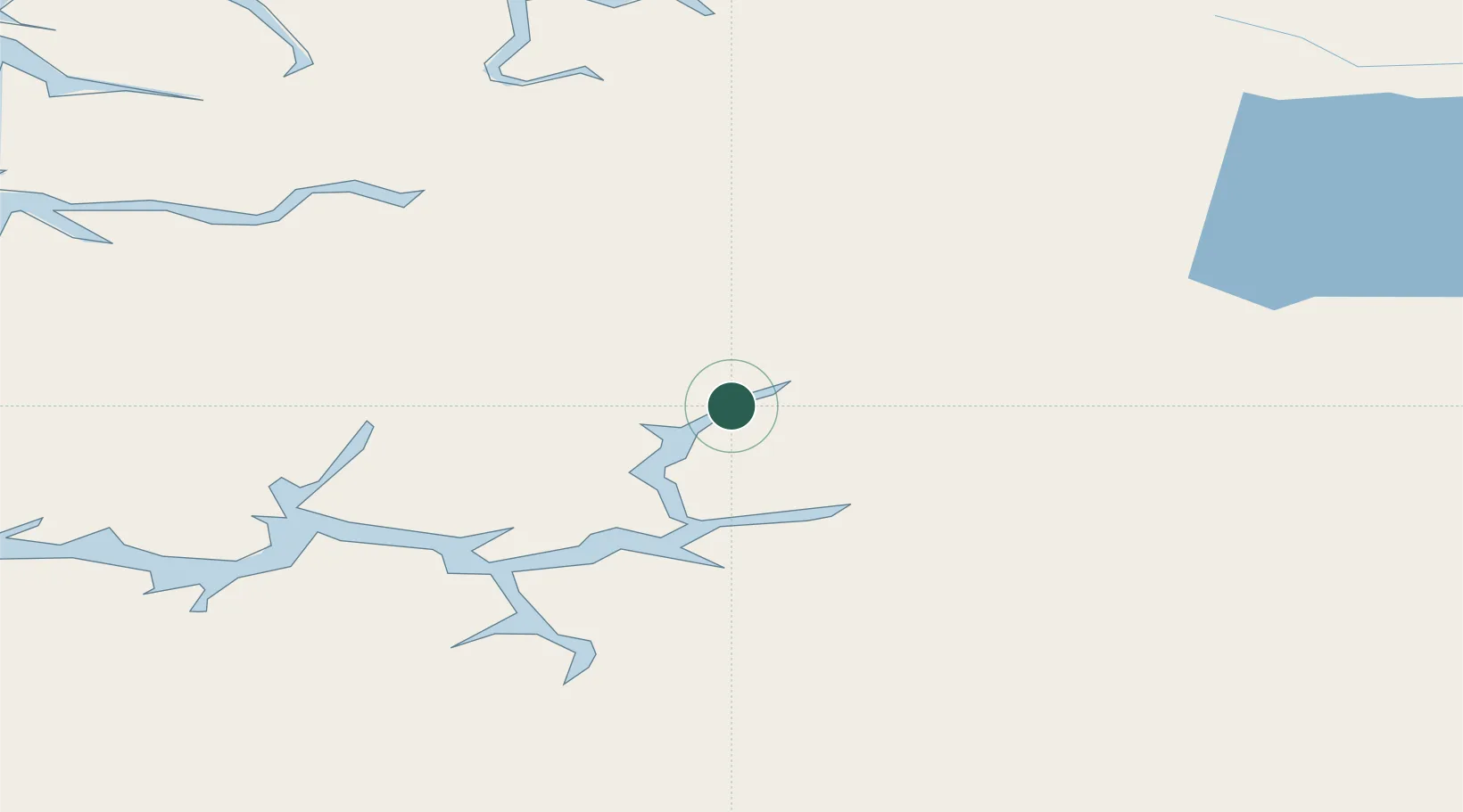
Location
Nearby Logistics Neighbours
Cities
- 1Gaupne9 km
- 2Skjolden9 km
- 3Årdalstangen26 km
- 4Sogndal31 km
- 5Kaupanger32 km
Ports
- 1Ardalstangen26 km
- 2Orstav110 km
- 3Andalsnes127 km
- 4Hareid128 km
- 5Floro130 km
Airports
- 1Sogndal Airport, Haukåsen35 km
- 2Sandane Airport, Anda84 km
- 3Førde Airport, Bringeland90 km
- 4Ørsta-Volda Airport, Hovden110 km
- 5Florø Airport130 km
Trade Zones
- 1Gothenburg Boundless Customs Warehouse482 km
- 2Jönköping Free Zone553 km
- 3Freeport of Copenhagen- Nordhavn702 km
- 4MTS Malmö Transport and Spedition726 km
- 5Freeport of Kiel806 km
DatabookThe Record of Consolidated Knowledge
Norway beyond logistics?