Transport Functions
Port
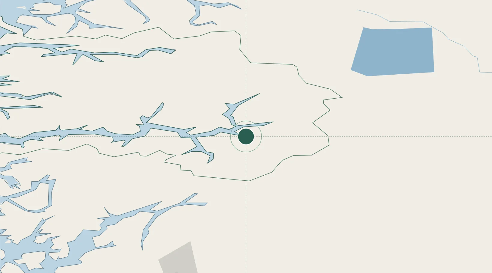
Hub Profile
Region
14
Location
Nearby Logistics Neighbours
Cities
- 1Kaupanger14 km
- 2Årdalstangen20 km
- 3Sogndal23 km
- 4Aurland27 km
- 5Flåm32 km
Ports
- 1Ardalstangen20 km
- 2Norheimsund108 km
- 3Vaksdal116 km
- 4Odda122 km
- 5Mongstad134 km
Airports
- 1Sogndal Airport, Haukåsen18 km
- 2Førde Airport, Bringeland96 km
- 3Sandane Airport, Anda108 km
- 4Florø Airport140 km
- 5Ørsta-Volda Airport, Hovden140 km
Trade Zones
- 1Gothenburg Boundless Customs Warehouse451 km
- 2Jönköping Free Zone527 km
- 3Freeport of Copenhagen- Nordhavn669 km
- 4MTS Malmö Transport and Spedition693 km
- 5Freeport of Kiel769 km
DatabookThe Record of Consolidated Knowledge
Norway beyond logistics?