Transport Functions
Port
Road
Hub Profile
Place type
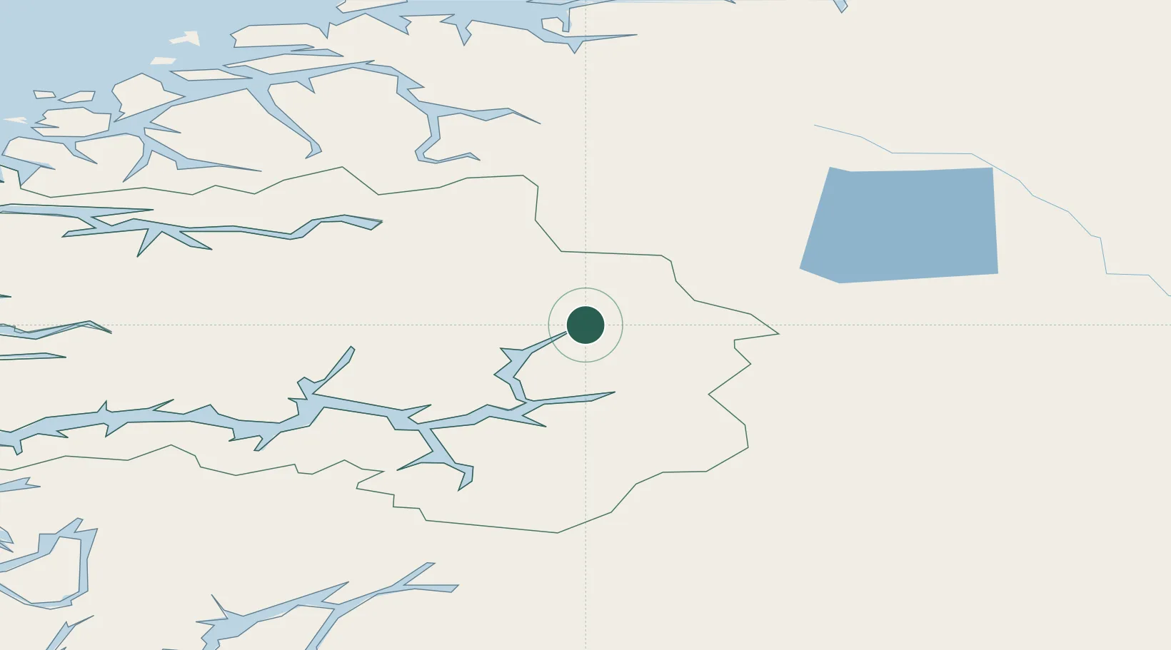
Populated place
Region
Vestland
Time zone
Europe/Oslo
Elevation
1 m
Location
Nearby Logistics Neighbours
Cities
- 1Luster9 km
- 2Gaupne18 km
- 3Årdalstangen29 km
- 4Sogndal39 km
- 5Kaupanger40 km
Ports
- 1Ardalstangen29 km
- 2Orstav111 km
- 3Andalsnes121 km
- 4Hareid128 km
- 5Alesund132 km
Airports
- 1Sogndal Airport, Haukåsen44 km
- 2Sandane Airport, Anda87 km
- 3Førde Airport, Bringeland98 km
- 4Ørsta-Volda Airport, Hovden111 km
- 5Florø Airport136 km
Trade Zones
- 1Gothenburg Boundless Customs Warehouse483 km
- 2Jönköping Free Zone552 km
- 3Freeport of Copenhagen- Nordhavn704 km
- 4MTS Malmö Transport and Spedition727 km
- 5Freeport of Kiel809 km
DatabookThe Record of Consolidated Knowledge
Norway beyond logistics?