Transport Functions
Port
Road
Hub Profile
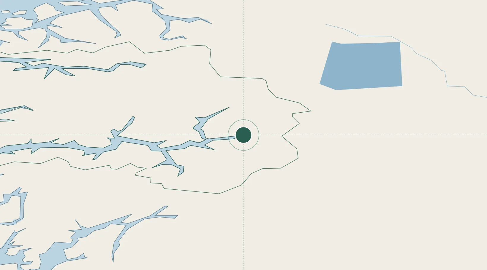
Place type
Provincial seat
Region
Vestland
Population
1,375
Time zone
Europe/Oslo
Elevation
20 m
Location
Nearby Logistics Neighbours
Ports
- 1Norheimsund128 km
- 2Vaksdal136 km
- 3Orstav136 km
- 4Odda141 km
- 5Floro148 km
Airports
- 1Sogndal Airport, Haukåsen31 km
- 2Førde Airport, Bringeland105 km
- 3Sandane Airport, Anda107 km
- 4Ørsta-Volda Airport, Hovden136 km
- 5Florø Airport148 km
Trade Zones
- 1Gothenburg Boundless Customs Warehouse456 km
- 2Jönköping Free Zone528 km
- 3Freeport of Copenhagen- Nordhavn676 km
- 4MTS Malmö Transport and Spedition700 km
- 5Freeport of Kiel781 km
DatabookThe Record of Consolidated Knowledge
Norway beyond logistics?