Transport Functions
Port
Road
Hub Profile
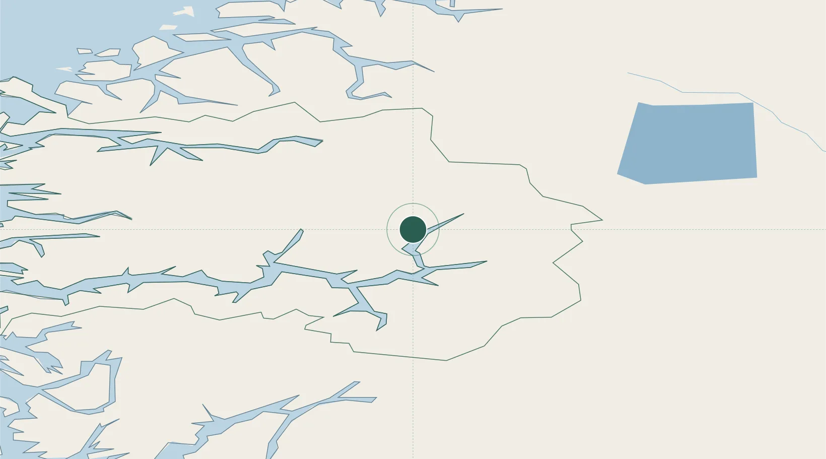
Place type
Provincial seat
Region
Vestland
Population
1,257
Time zone
Europe/Oslo
Elevation
40 m
Location
Nearby Logistics Neighbours
Cities
- 1Luster9 km
- 2Skjolden18 km
- 3Sogndal23 km
- 4Kaupanger26 km
- 5Årdalstangen28 km
Ports
- 1Ardalstangen28 km
- 2Orstav108 km
- 3Floro123 km
- 4Hareid127 km
- 5Maloy130 km
Airports
- 1Sogndal Airport, Haukåsen29 km
- 2Sandane Airport, Anda79 km
- 3Førde Airport, Bringeland82 km
- 4Ørsta-Volda Airport, Hovden108 km
- 5Florø Airport123 km
Trade Zones
- 1Gothenburg Boundless Customs Warehouse483 km
- 2Jönköping Free Zone556 km
- 3Freeport of Copenhagen- Nordhavn703 km
- 4MTS Malmö Transport and Spedition726 km
- 5Freeport of Kiel804 km
DatabookThe Record of Consolidated Knowledge
Norway beyond logistics?