Seaport · Nicaragua
Puerto CabezasNIPUZ
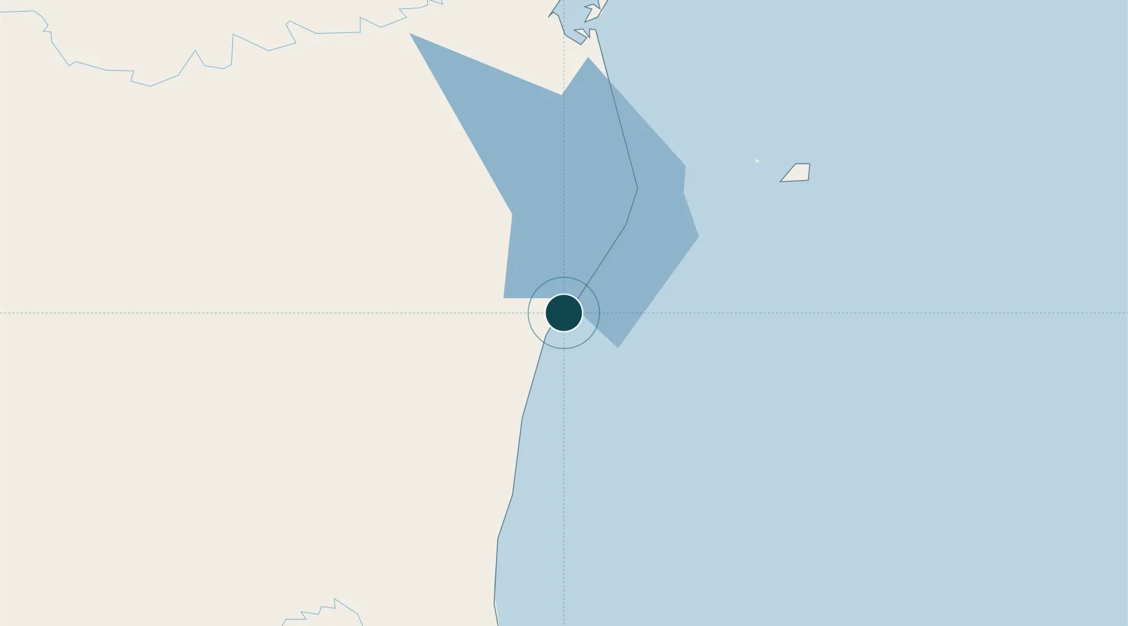
14.0167°, -83.3833°
10.0 m
Channel depth
8.9
Port liner connectivity
Channel & Berth Profile
Pilotage, Tugs & Services
Pilotage compulsoryYES
Pilotage availableYES
Tug assistanceNO
Salvage tugsNO
Potable waterYES
Diesel bunkersYES
MedicalYES
Garbage disposalNO
Facilities & Capabilities
Container—
Ro-Ro—
Liquid bulk—
Dry bulk—
Oil terminal—
Break bulkYES
Dry dock—
RepairsNO
Bunkering—
Rail linkYES
Dangerous cargo—
ISPS securityYES
Harbour Specifications
Harbour size
Very Small
Harbour type
Open Roadstead
Shelter
Poor
Water body
Caribbean Sea; North Atlantic Ocean
Tidal range
0.5 m
Overhead limit
No
Pilotage
Yes
Liner Connectivity
8.9
PLSCI
Port Liner Shipping Connectivity Index for Puerto Cabezas, as published by UNCTAD for the latest available quarter. Higher values indicate stronger scheduled liner-shipping integration.
Shown relative to the highest per-port PLSCI in the dataset (1,657.9).
Location
Nearby Logistics Neighbours
Ports
- 1Bluefields226 km
- 2El Bluff227 km
- 3San Andres Island243 km
- 4Trujillo347 km
- 5Puerto Castilla356 km
Cities
- 1Puerto Isabel75 km
- 2Rama226 km
- 3El Tuma277 km
- 4Libertad-Chontales278 km
- 5Boaco301 km
Airports
- 1Puerto Cabezas Airport3 km
- 2Puerto Lempira Airport145 km
- 3Corn Island Airport208 km
- 4Bluefields Airport229 km
- 5El Embrujo Airport231 km
Trade Zones
DatabookThe Record of Consolidated Knowledge
Nicaragua beyond logistics?