Medium airport · Nicaragua
Puerto Cabezas AirportMNPC
14.0472°, -83.3867°
8,130 ft
Longest runway
1
Runways
52 ft
Elevation
Runway & Layout

Radio Frequencies
TWR
118 MHz
Navaids
PZA VOR-DME Puerto Cabezas 112.90 MHz
Runways · 1
| Runway | Dimensions | Surface | True heading | Lit |
|---|---|---|---|---|
| 09/27 | 8,130 × 167ft | Asphalt | 092° | — |
Airport Specifications
IATA code
PUZ
ICAO code
MNPC
Airport class
Medium airport
Scheduled service
Yes
Runway surface
Asphalt
Served city
Puerto Cabezas
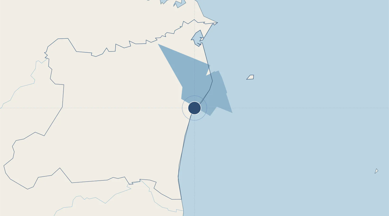
Location
Nearby Logistics Neighbours
Airports
- 1Puerto Lempira Airport142 km
- 2Corn Island Airport211 km
- 3El Embrujo Airport232 km
- 4Bluefields Airport233 km
- 5Gustavo Rojas Pinilla International Airport244 km
Cities
- 1Puerto Isabel78 km
- 2Rama229 km
- 3El Tuma278 km
- 4Libertad-Chontales280 km
- 5Boaco303 km
Ports
- 1Puerto Cabezas3 km
- 2Bluefields229 km
- 3El Bluff230 km
- 4San Andres Island246 km
- 5Trujillo345 km
Trade Zones
DatabookThe Record of Consolidated Knowledge
Nicaragua beyond logistics?