Transport Functions
Port
Road
Hub Profile
Place type
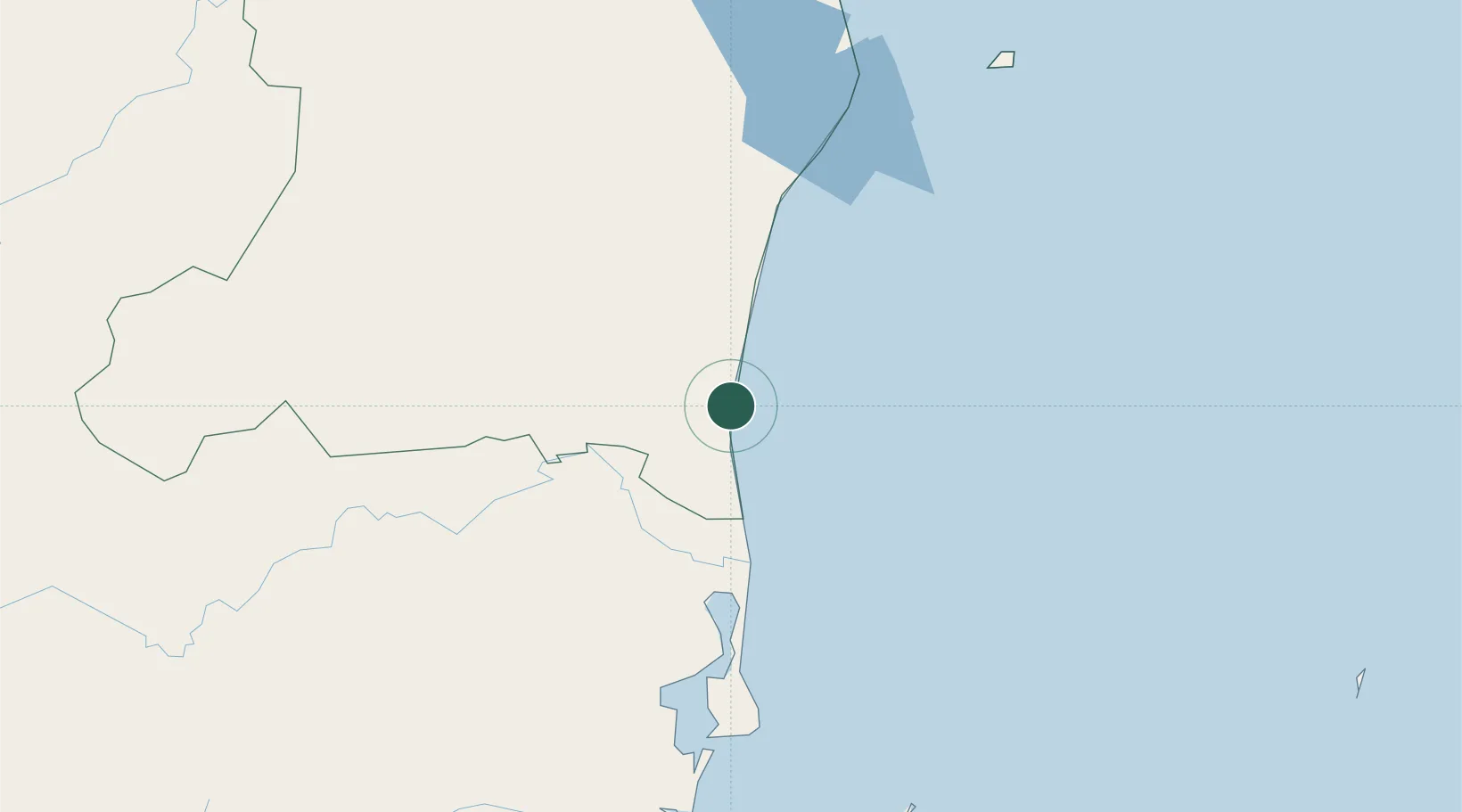
Populated place
Region
North Caribbean Coast
Time zone
America/Managua
Elevation
4 m
Location
Nearby Logistics Neighbours
Cities
- 1Rama153 km
- 2Libertad-Chontales216 km
- 3El Tuma239 km
- 4Juigalpa245 km
- 5Boaco249 km
Ports
- 1Puerto Cabezas75 km
- 2Bluefields151 km
- 3El Bluff153 km
- 4San Andres Island221 km
- 5Puerto Sandino371 km
Airports
- 1Puerto Cabezas Airport78 km
- 2Corn Island Airport144 km
- 3Bluefields Airport155 km
- 4Puerto Lempira Airport212 km
- 5Gustavo Rojas Pinilla International Airport219 km
Trade Zones
DatabookThe Record of Consolidated Knowledge
Nicaragua beyond logistics?