Transport Functions
Port
Road
Hub Profile
Region
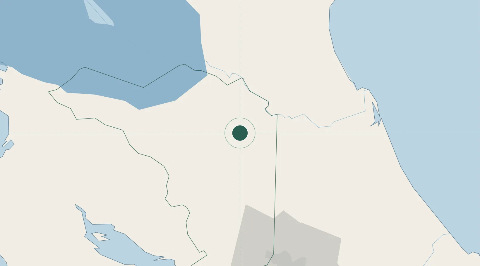
A
Location
Nearby Logistics Neighbours
Cities
- 1Santa Maria/Pocosol18 km
- 2Boca Arenal21 km
- 3Muelle de San Carlos21 km
- 4Altamira24 km
- 5Pital Con Desvio30 km
Ports
- 1Puntarenas93 km
- 2Puerto Caldera94 km
- 3Puerto Quepos141 km
- 4Puerto Moin160 km
- 5Bluefields163 km
Airports
- 1La Fortuna Arenal Airport33 km
- 2Los Chiles Airport54 km
- 3Upala Airport75 km
- 4Juan Santamaría International Airport79 km
- 5Guapiles Airport81 km
Trade Zones
DatabookThe Record of Consolidated Knowledge
Costa Rica beyond logistics?