Export Processing Zone · Costa Rica

Global Park Free Zone Active
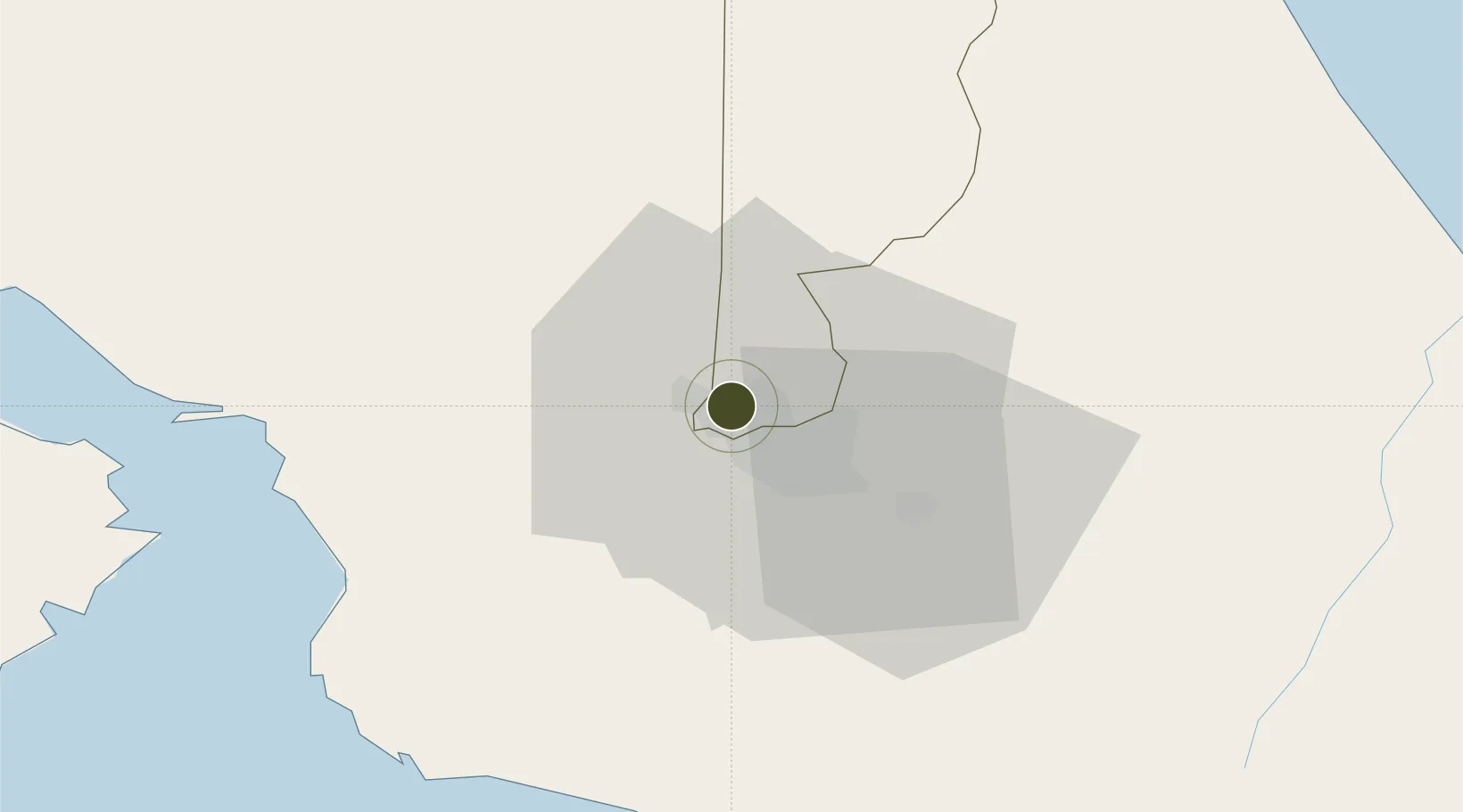
9.9873°, -84.1535°
35 ha
Zone area
61.6 km
Nearest port
3.7 km
Nearest airport

Gateway access

Nearest neighbours — logibook spatial index (haversine) over the source coordinates

Zone profile

Zone type
Export Processing Zone
Open Zone Map
Region
Heredia
Open Zone Map
Status
Active
Open Zone Map
Management
Private
Open Zone Map
Operator
CF Free Zone Park SRL
Open Zone Map
Legal framework
Free Zone Regime Act No 7210, Act No 8794 and its Bylaws
Open Zone Map

Location

Location of ozm-1690
Natural Earth 10m (public domain) · Heredia · ozm-1690 · 9.99, -84.15GoogleOSMYandex

Nearby Logistics Neighbours

Ports
  1. 1Puerto Quepos62 km
  2. 2Puerto Caldera62 km
  3. 3Puntarenas74 km
  4. 4Puerto Moin117 km
  5. 5Puerto Limon125 km
Nearest neighbours — logibook spatial index (haversine) over the source coordinates
Airports
  1. 1Tobías Bolaños International Airport4 km
  2. 2Juan Santamaría International Airport6 km
  3. 3Guapiles Airport47 km
  4. 4Quepos Managua Airport61 km
  5. 5La Fortuna Arenal Airport71 km
Nearest neighbours — logibook spatial index (haversine) over the source coordinates
Cities
  1. 1Heredia2 km
  2. 2Barrial2 km
  3. 3La Ribera3 km
  4. 4Rio Segundo5 km
  5. 5San José6 km
Nearest neighbours — logibook spatial index (haversine) over the source coordinates
Trade Zones
  1. 1Centro de Negocios Eurocenter1 km
  2. 2America Free Zone1 km
  3. 3Zona Franca America1 km
  4. 4Metro Free Zone1 km
  5. 5Zona Franca Metropolitana, SA1 km
Nearest neighbours — logibook spatial index (haversine) over the source coordinates
DatabookThe Record of Consolidated Knowledge
Costa Rica beyond logistics?
Browse databook

All Sources

Trade ZonesOpen Zone Map
CC BY
Portsthe NGA World Port Index
Public domain (US gov)
AirportsOurAirports
Public domain
LocationsUN/LOCODE
UN/LOCODE — free
← Costa Rica trade zones