Specialized Zone · Costa Rica
CR Green Valley Business and Technology Park Under Development
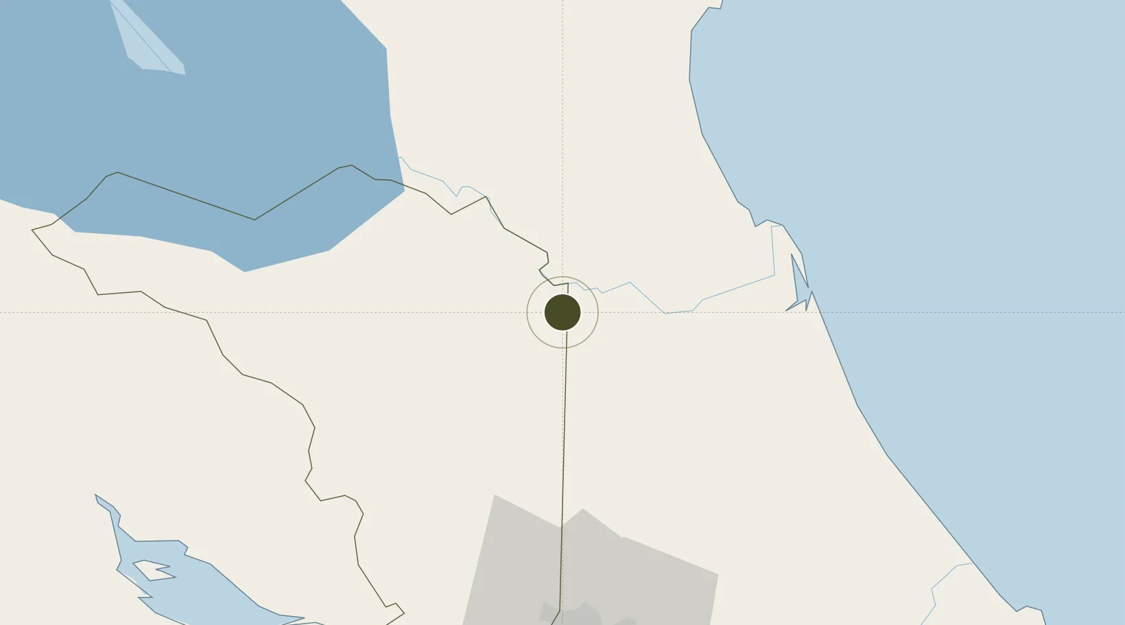
10.7178°, -84.1713°
100 ha
Zone area
107.2 km
Nearest port
52.4 km
Nearest airport
Gateway access
Zone profile
Zone type
Specialized Zone
Specialization
Tech
Region
Alajuela
Status
Under Development
Management
Private
Operator
Portafolio Inmobiliario S.A.
Legal framework
Free Zone Regime Act No 7210, Act No 8794 and its Bylaws
Location
Nearby Logistics Neighbours
Ports
- 1Puerto Caldera107 km
- 2Puntarenas109 km
- 3Puerto Quepos143 km
- 4Puerto Moin143 km
- 5Puerto Limon150 km
Airports
- 1La Fortuna Arenal Airport52 km
- 2Barra del Colorado Airport64 km
- 3Los Chiles Airport68 km
- 4Guapiles Airport69 km
- 5Aerotortuguero Airport70 km
Cities
- 1Cutris22 km
- 2Horluetas/Sarapiqui31 km
- 3Sarapiquí31 km
- 4Pital Con Desvio33 km
- 5Altamira34 km
Trade Zones
- 1AAA Top Talent Free Trade Zone74 km
- 2Activa Industrial Park76 km
- 3Zeta Free Zone Alajuela80 km
- 4Greenpark81 km
- 5Zona Franca BES (BES Free Zone)81 km
DatabookThe Record of Consolidated Knowledge
Costa Rica beyond logistics?