Transport Functions
Rail
Road
Hub Profile
Place type
Populated place
Region
Jeollanam-do
Time zone
Asia/Seoul
Elevation
32 m
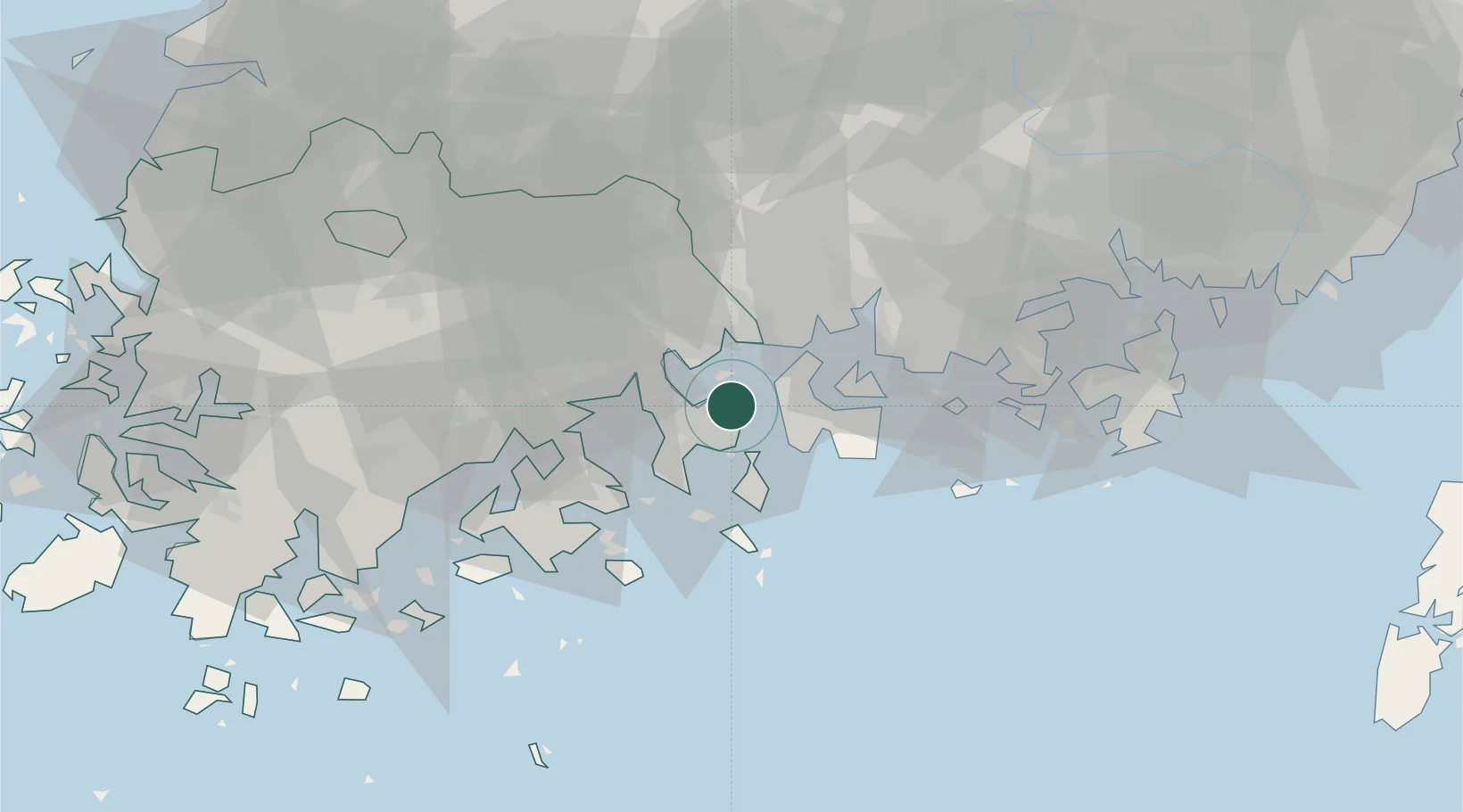
Location
Nearby Logistics Neighbours
Cities
- 1Yeosu8 km
- 2Boseong-gun8 km
- 3Gwangyang12 km
- 4Namhae-gun14 km
- 5Suncheon27 km
Ports
- 1Gwangyang Hang10 km
- 2Masan86 km
- 3Chinae91 km
- 4Busan123 km
- 5Mokpo123 km
Airports
- 1Yeosu Airport11 km
- 2Sacheon Airport / Sacheon Air Base43 km
- 3Gwangju Airport91 km
- 4Gimhae International Airport117 km
- 5Muan International Airport125 km
DatabookThe Record of Consolidated Knowledge
South Korea beyond logistics?