UN/LOCODE hub · South Korea
KRKAN
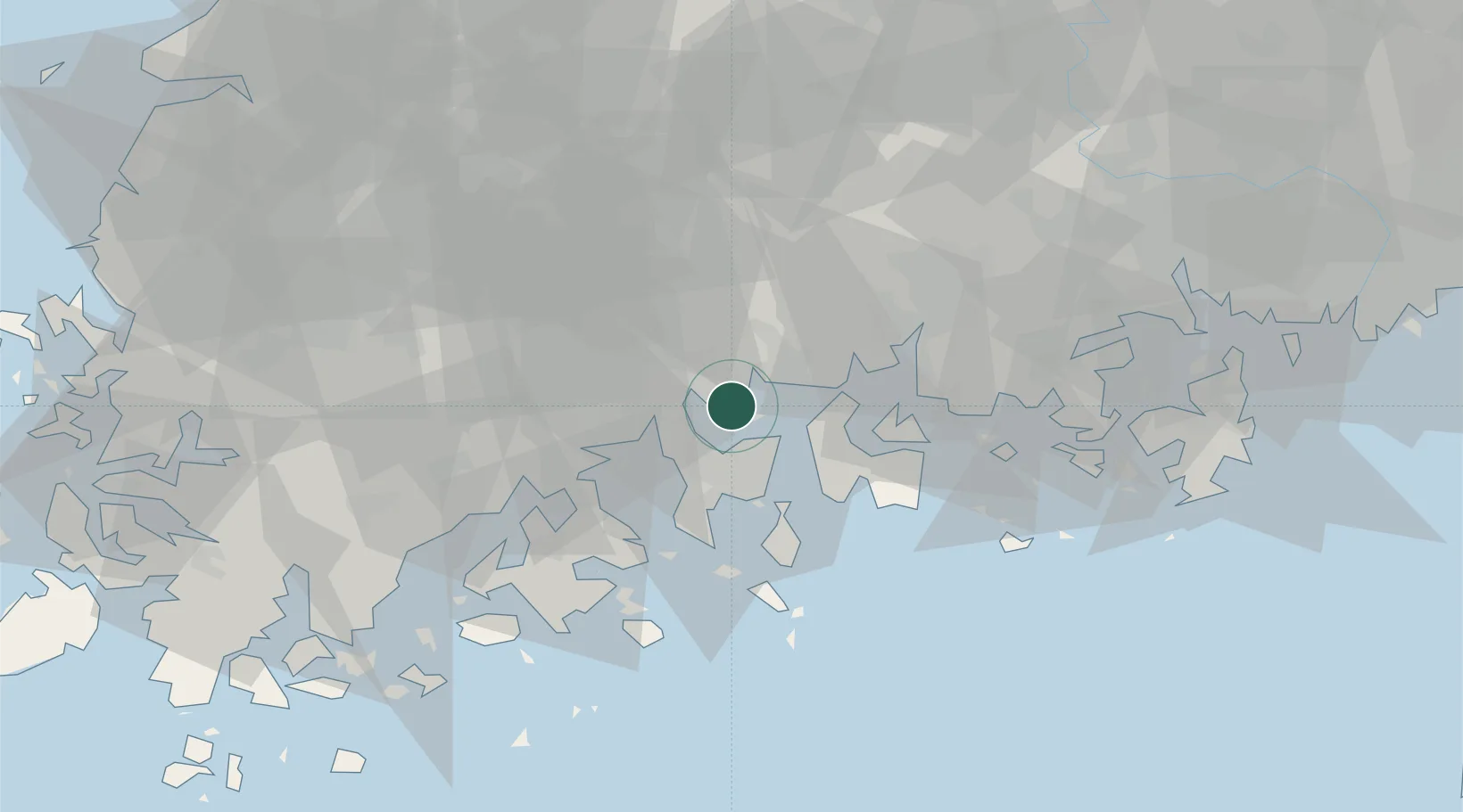
Gwangyang
34.9102°, 127.6752°
154,266
Population
3
Transport functions
3
Container terminals
Transport Functions
Port
Rail
Road
Hub Profile
Place type
Provincial seat
Region
Jeollanam-do
Population
154,266
Time zone
Asia/Seoul
Elevation
24 m
Logistics facilities
12
Container terminals
3
Location
Nearby Logistics Neighbours
Cities
- 1Sangam-dong12 km
- 2Suncheon18 km
- 3Yeosu18 km
- 4Boseong-gun20 km
- 5Namhae-gun21 km
Airports
- 1Yeosu Airport9 km
- 2Sacheon Airport / Sacheon Air Base41 km
- 3Gwangju Airport83 km
- 4Muan International Airport118 km
- 5Gimhae International Airport119 km
DatabookThe Record of Consolidated Knowledge
South Korea beyond logistics?