UN/LOCODE hub · South Korea
KRSYS
Suncheon
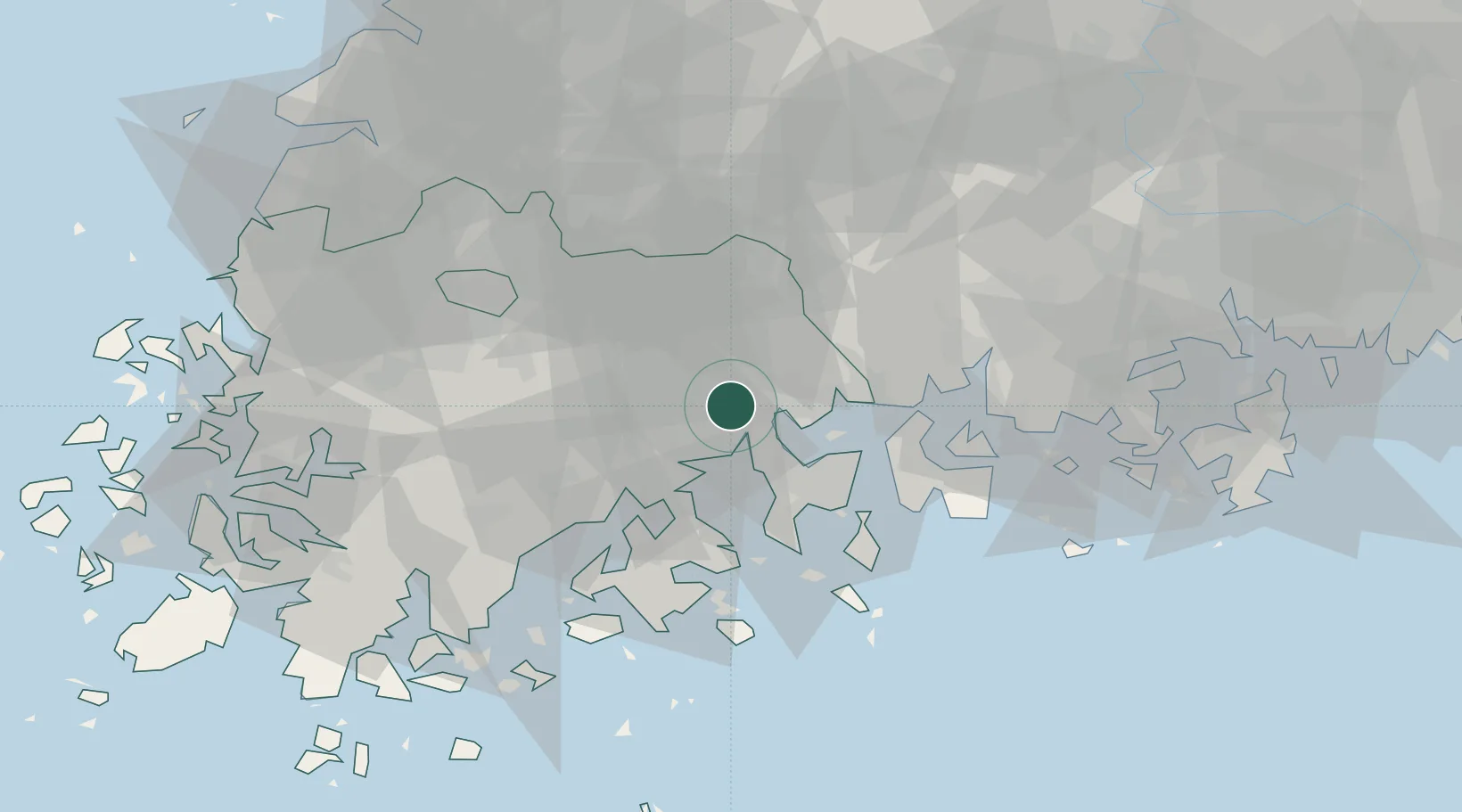
34.9500°, 127.4833°
276,375
Population
3
Transport functions
Transport Functions
Rail
Road
Airport
Hub Profile
Place type
Provincial seat
Region
Jeollanam-do
Population
276,375
Time zone
Asia/Seoul
Elevation
19 m
Location
Nearby Logistics Neighbours
Cities
- 1Gwangyang18 km
- 2Sangam-dong27 km
- 3Gurye-gun28 km
- 4Yeosu31 km
- 5Boseong-gun35 km
Ports
- 1Gwangyang Hang25 km
- 2Masan102 km
- 3Mokpo102 km
- 4Chinae108 km
- 5Kunsan139 km
Airports
- 1Yeosu Airport17 km
- 2Sacheon Airport / Sacheon Air Base56 km
- 3Gwangju Airport65 km
- 4Muan International Airport100 km
- 5Gunsan Airport / Gunsan Air Base132 km
Trade Zones
DatabookThe Record of Consolidated Knowledge
South Korea beyond logistics?