Transport Functions
Port
Rail
Road
Hub Profile
Place type
Provincial seat
Region
Jeollanam-do
Time zone
Asia/Seoul
Elevation
9 m
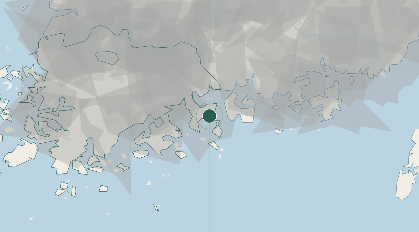
Location
Nearby Logistics Neighbours
Cities
- 1Sangam-dong8 km
- 2Boseong-gun8 km
- 3Namhae-gun18 km
- 4Gwangyang18 km
- 5Suncheon31 km
Ports
- 1Gwangyang Hang18 km
- 2Masan91 km
- 3Chinae95 km
- 4Mokpo122 km
- 5Busan126 km
Airports
- 1Yeosu Airport14 km
- 2Sacheon Airport / Sacheon Air Base50 km
- 3Gwangju Airport93 km
- 4Gimhae International Airport121 km
- 5Muan International Airport125 km
Trade Zones
DatabookThe Record of Consolidated Knowledge
South Korea beyond logistics?