Transport Functions
Port
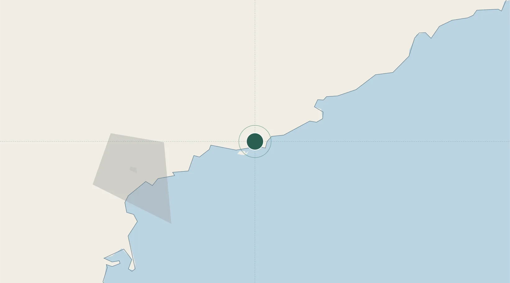
Hub Profile
Place type
Populated place
Region
South Hamgyong
Population
152,759
Time zone
Asia/Pyongyang
Elevation
39 m
Location
Nearby Logistics Neighbours
Cities
- 1Riwon42 km
- 2Tanchon69 km
- 3Yeoncheon-gun139 km
- 4Inje-gun154 km
- 5Goseong-gun190 km
Ports
- 1Hungnam61 km
- 2Kimch'aek104 km
- 3Wonsan122 km
- 4Sokch'o Hang210 km
- 5Ch'ongjin230 km
Airports
- 1Riwon Airbase51 km
- 2Toksan Air Base56 km
- 3Hwangsuwon Airbase69 km
- 4Sondok Airport77 km
- 5Changjin Air Force Base91 km
Trade Zones
DatabookThe Record of Consolidated Knowledge
North Korea beyond logistics?