UN/LOCODE hub · Japan
JPWAK
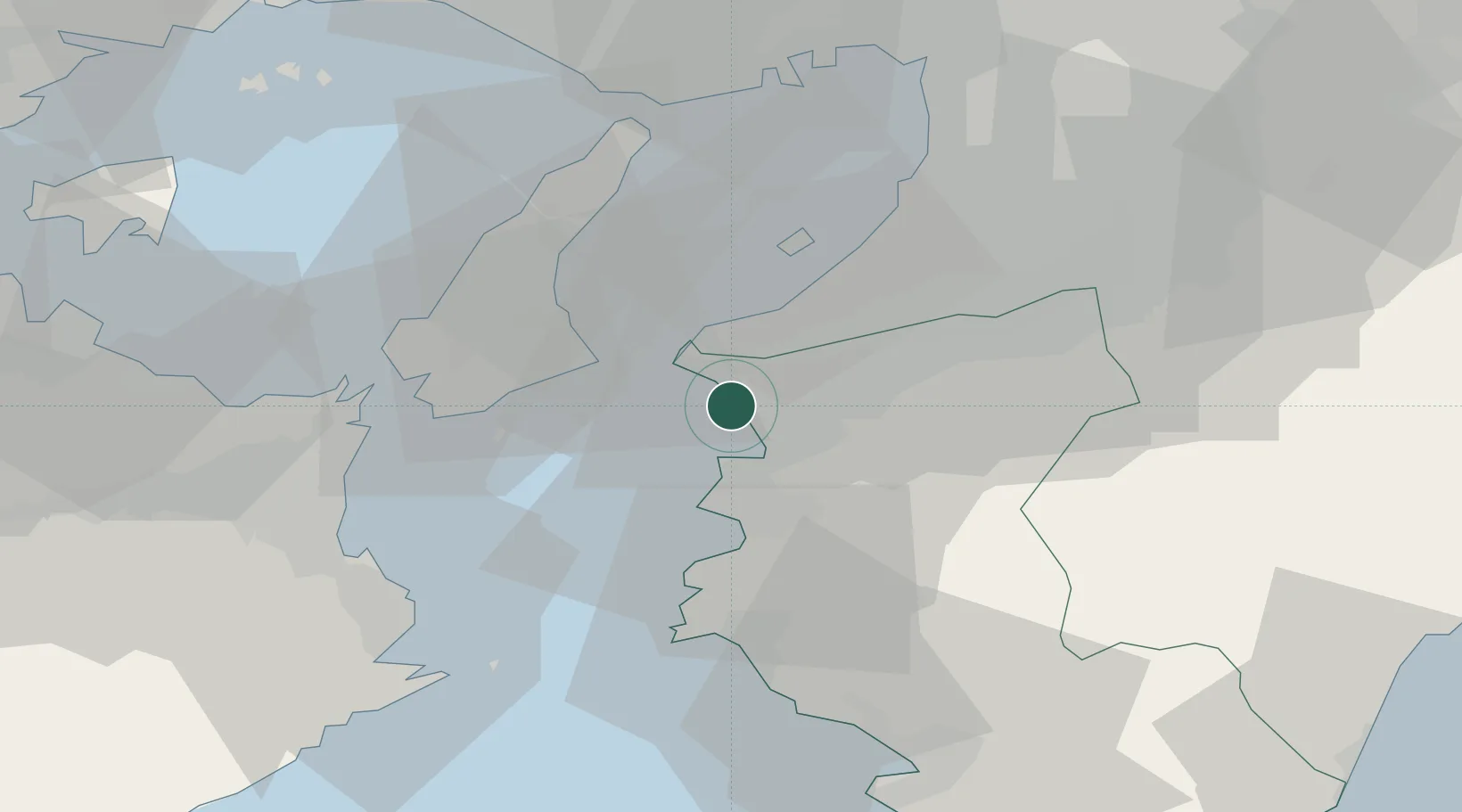
Wakayama
34.2081°, 135.1419°
356,729
Population
1
Transport functions
1
Container terminals
Transport Functions
Port
Hub Profile
Place type
Regional capital
Region
Wakayama
Population
356,729
Time zone
Asia/Tokyo
Elevation
8 m
Logistics facilities
1
Container terminals
1
Location
Nearby Logistics Neighbours
Ports
- 1Yura29 km
- 2Hannan Ko35 km
- 3Sakai-Senboku47 km
- 4Kobe49 km
- 5Komatsushima54 km
Airports
Trade Zones
- 1Rinku Town Izumisano City Area Regional Revitalization Comprehensive Special Zone26 km
- 2Awaji Environmental Future Island Special Zone27 km
- 3Wakayama Prefecture "Takano Kumano" Cultural and Regional Promotion Comprehensive Special Zone41 km
- 4Kansai Innovation International Strategic Comprehensive Special Zone62 km
- 5Tokushima life innovation Comprehensive Special Zone66 km
DatabookThe Record of Consolidated Knowledge
Japan beyond logistics?