Channel & Berth Profile
Pilotage, Tugs & Services
Pilotage compulsoryYES
Pilotage availableYES
Tug assistanceYES
Potable waterYES
MedicalYES
Facilities & Capabilities
Container—
Ro-Ro—
Liquid bulk—
Dry bulk—
Oil terminal—
Break bulk—
Dry dockNO
RepairsNO
BunkeringYES
Rail link—
Dangerous cargo—
ISPS security—
Harbour Specifications
Harbour size
Small
Harbour type
Coastal (Natural)
Shelter
Fair
Water body
Sea of Japan; North Pacific Ocean
Tidal range
2 m
Pilotage
Yes
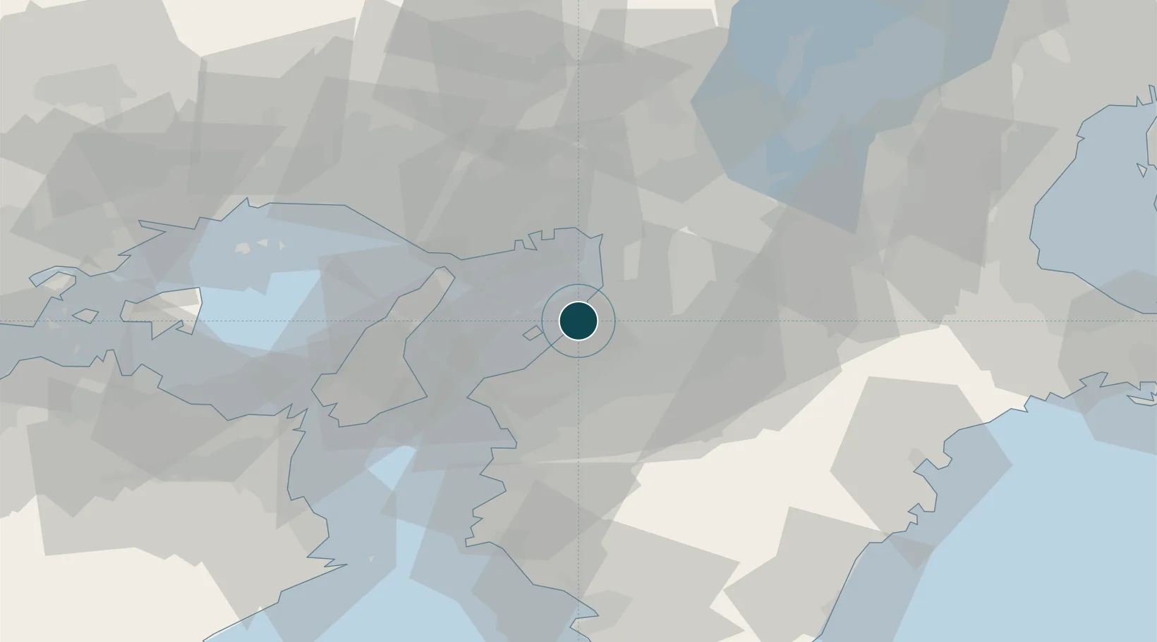
Location
Nearby Logistics Neighbours
Ports
- 1Sakai-Senboku12 km
- 2Osaka22 km
- 3Kobe26 km
- 4Amagasaki26 km
- 5Wakayama-Shimotsu Ko36 km
Cities
- 1Sakaisenboku8 km
- 2Sensyu10 km
- 3Sennan15 km
- 4Kawachi Nagano18 km
- 5Osakasayama, Osaka19 km
Airports
Trade Zones
- 1Rinku Town Izumisano City Area Regional Revitalization Comprehensive Special Zone9 km
- 2Kansai Innovation International Strategic Comprehensive Special Zone27 km
- 3Wakayama Prefecture "Takano Kumano" Cultural and Regional Promotion Comprehensive Special Zone35 km
- 4Awaji Environmental Future Island Special Zone44 km
- 5Nara Park Tourist Area Revitalization Comprehensive Special Zone51 km
DatabookThe Record of Consolidated Knowledge
Japan beyond logistics?