Transport Functions
Multimodal
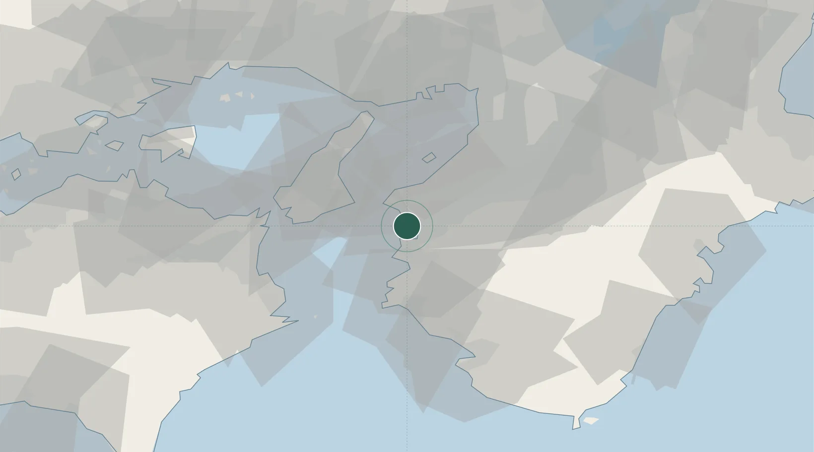
Hub Profile
Place type
Populated place
Region
Wakayama
Time zone
Asia/Tokyo
Location
Nearby Logistics Neighbours
Ports
- 1Wakayama-Shimotsu Ko2 km
- 2Yura26 km
- 3Hannan Ko37 km
- 4Sakai-Senboku48 km
- 5Kobe52 km
Airports
Trade Zones
- 1Rinku Town Izumisano City Area Regional Revitalization Comprehensive Special Zone28 km
- 2Awaji Environmental Future Island Special Zone29 km
- 3Wakayama Prefecture "Takano Kumano" Cultural and Regional Promotion Comprehensive Special Zone40 km
- 4Kansai Innovation International Strategic Comprehensive Special Zone64 km
- 5Tokushima life innovation Comprehensive Special Zone66 km
DatabookThe Record of Consolidated Knowledge
Japan beyond logistics?