Channel & Berth Profile
Pilotage, Tugs & Services
Pilotage compulsoryYES
Pilotage availableYES
Pilotage advisableYES
Tug assistanceYES
Shore powerYES
Potable waterYES
Diesel bunkersYES
MedicalYES
Garbage disposalYES
Facilities & Capabilities
Container—
Ro-Ro—
Liquid bulk—
Dry bulk—
Oil terminal—
Break bulk—
Dry dockNO
RepairsNO
BunkeringYES
Rail linkYES
Dangerous cargo—
ISPS security—
Harbour Specifications
Harbour size
Medium
Harbour type
Coastal (Natural)
Shelter
Good
Water body
East China Sea; North Pacific Ocean
Tidal range
3 m
Overhead limit
No
Pilotage
Yes
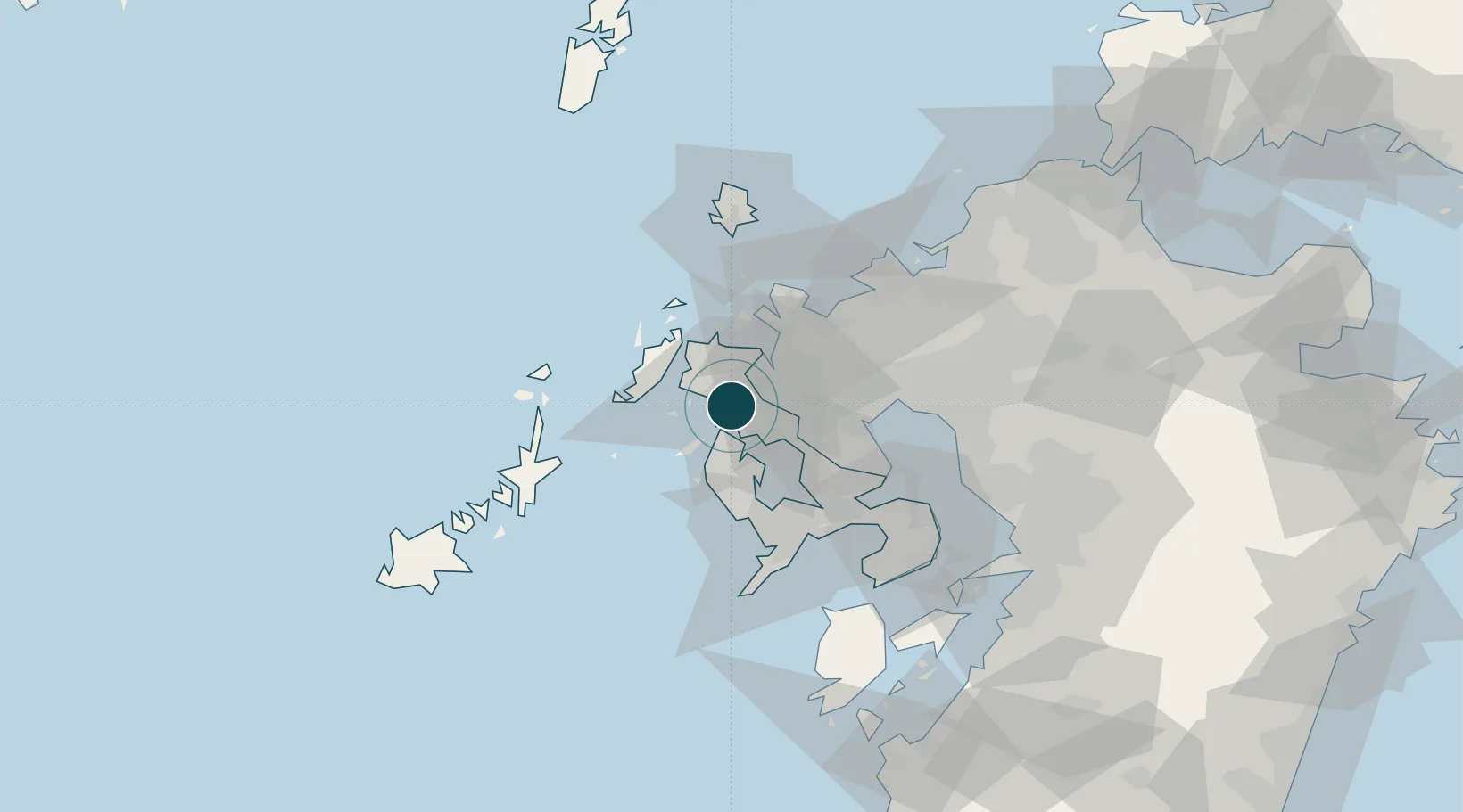
Location
Nearby Logistics Neighbours
Ports
- 1Imari20 km
- 2Matsu-Shima28 km
- 3Karatsu42 km
- 4Nagasaki52 km
- 5Aokata64 km
Cities
- 1Ôshima, Nagasaki15 km
- 2Imari21 km
- 3Fukushima, Nagasaki22 km
- 4Saikai27 km
- 5Seto27 km
Airports
- 1Nagasaki Airport33 km
- 2Kyushu Saga International Airport55 km
- 3Iki Airport65 km
- 4Fukuoka Airport83 km
- 5Amakusa Airport87 km
DatabookThe Record of Consolidated Knowledge
Japan beyond logistics?