Medium airport · Japan
Iki AirportRJDB
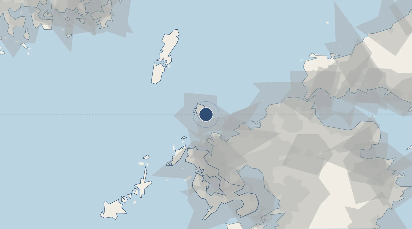
33.7490°, 129.7850°
4,331 ft
Longest runway
1
Runways
41 ft
Elevation
Runway & Layout

Radio Frequencies
A/G
118.2 MHz
IKI REMOTE
RDO
118.2 MHz
Navaids
IK NDB Ikishima 355 kHz
IKE VOR-DME Iki 113.20 MHz
Runways · 1
| Runway | Dimensions | Surface | True heading | Lit |
|---|---|---|---|---|
| 02/20 | 4,331 × 100ft | Asphalt | 009° | ✓ |
Airport Specifications
IATA code
IKI
ICAO code
RJDB
Airport class
Medium airport
Scheduled service
Yes
Runway surface
Asphalt
Served city
Iki
Location
Nearby Logistics Neighbours
Airports
- 1Fukuoka Airport64 km
- 2Tsushima Airport73 km
- 3JASDF Ashiya Air Base82 km
- 4Kyushu Saga International Airport82 km
- 5Nagasaki Airport93 km
Cities
- 1Tobo33 km
- 2Itoshima, Fukuoka43 km
- 3Fukushima, Nagasaki44 km
- 4Imari48 km
- 5Ikitsuki52 km
DatabookThe Record of Consolidated Knowledge
Japan beyond logistics?