Transport Functions
Port
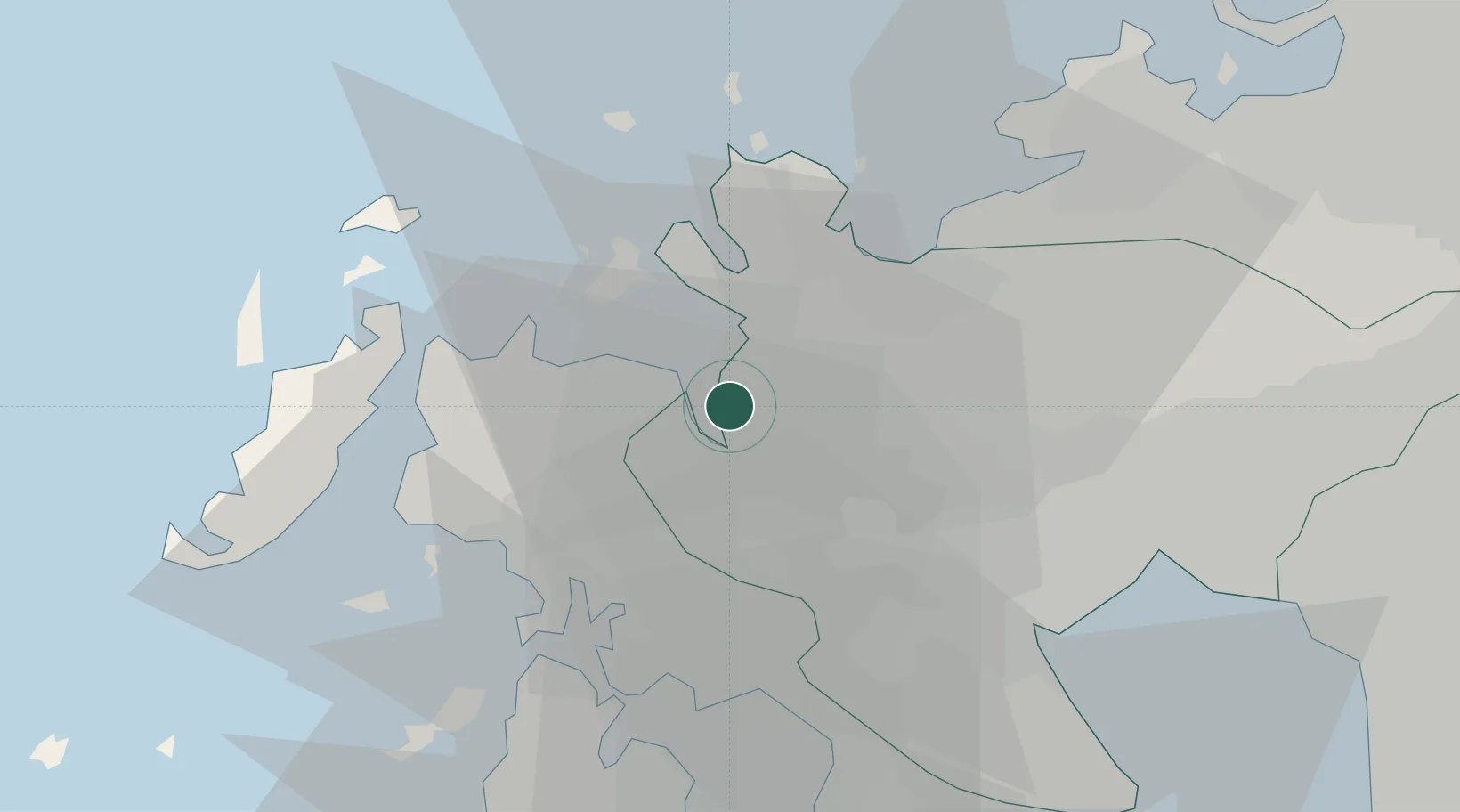
Hub Profile
Place type
Provincial seat
Region
Saga
Time zone
Asia/Tokyo
Elevation
53 m
Logistics facilities
4
Container terminals
1
Location
Nearby Logistics Neighbours
Cities
- 1Fukushima, Nagasaki6 km
- 2Tobo20 km
- 3Ureshino Saga29 km
- 4Ogi32 km
- 5Ôshima, Nagasaki36 km
Ports
- 1Sasebo21 km
- 2Karatsu21 km
- 3Matsu-Shima49 km
- 4Hakata60 km
- 5Miike Ko63 km
Airports
- 1Nagasaki Airport45 km
- 2Kyushu Saga International Airport46 km
- 3Iki Airport48 km
- 4Fukuoka Airport63 km
- 5Amakusa Airport97 km
DatabookThe Record of Consolidated Knowledge
Japan beyond logistics?