UN/LOCODE hub · Japan
JPFKM

Fukushima, Nagasaki

33.3500°, 129.8000°
2
Transport functions

Transport Functions

Port
Road
UN/LOCODE

Hub Profile

Region
42
GeoNames

Location

Location of JPFKM
Natural Earth 10m (public domain) · 42 · JPFKM · 33.35, 129.80GoogleOSMYandex

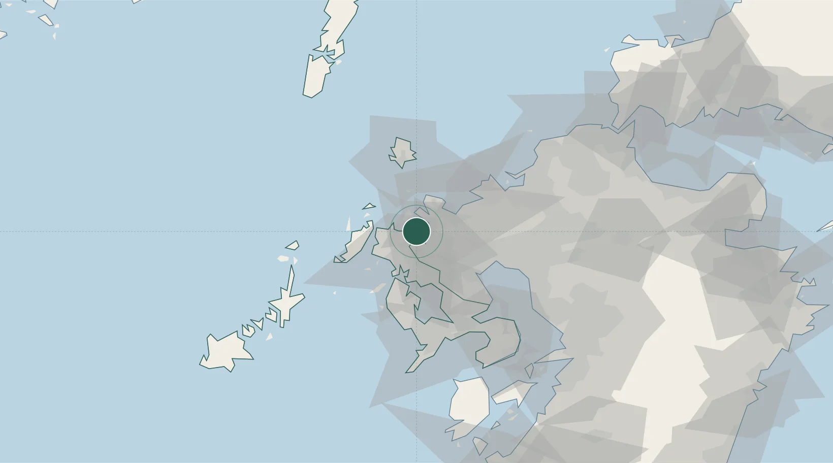
Nearby Logistics Neighbours

Cities
  1. 1Imari6 km
  2. 2Tobo19 km
  3. 3Ikitsuki34 km
  4. 4Ureshino Saga35 km
  5. 5Ôshima, Nagasaki36 km
Nearest neighbours — logibook spatial index (haversine) over the source coordinates
Ports
  1. 1Imari11 km
  2. 2Karatsu21 km
  3. 3Sasebo22 km
  4. 4Matsu-Shima50 km
  5. 5Hakata62 km
Nearest neighbours — logibook spatial index (haversine) over the source coordinates
Airports
  1. 1Iki Airport44 km
  2. 2Nagasaki Airport49 km
  3. 3Kyushu Saga International Airport52 km
  4. 4Fukuoka Airport66 km
  5. 5JASDF Ashiya Air Base99 km
Nearest neighbours — logibook spatial index (haversine) over the source coordinates
DatabookThe Record of Consolidated Knowledge
Japan beyond logistics?
Browse databook

All Sources

LocationsUN/LOCODE
UN/LOCODE — free
Portsthe NGA World Port Index
Public domain (US gov)
AirportsOurAirports
Public domain
Trade Zonesthe World Bank SEZ database
CC BY 4.0
Trade ZonesOpen Zone Map
CC BY
← Japan locations