UN/LOCODE hub · Japan
JPSET

Seto

32.9333°, 129.6333°
1
Transport functions

Transport Functions

Port
UN/LOCODE

Hub Profile

Place type
Populated place
GeoNames
Region
Nagasaki
GeoNames
Time zone
Asia/Tokyo
GeoNames

Location

Location of JPSET
Natural Earth 10m (public domain) · Nagasaki · JPSET · 32.93, 129.63GoogleOSMYandex

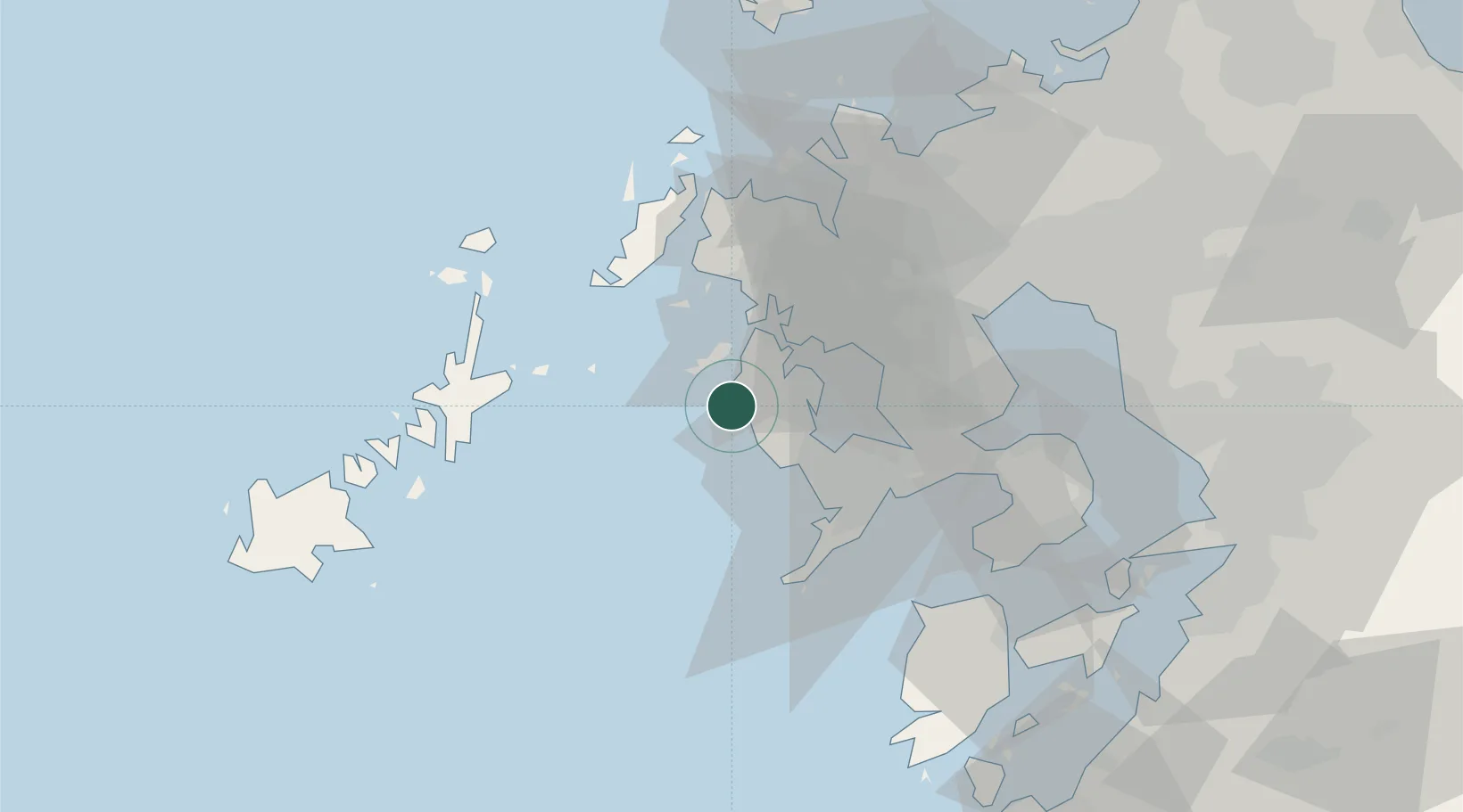
Nearby Logistics Neighbours

Cities
  1. 1Saikai2 km
  2. 2Ôshima, Nagasaki15 km
  3. 3Nagasaki32 km
  4. 4Ureshino Saga44 km
  5. 5Imari47 km
Nearest neighbours — logibook spatial index (haversine) over the source coordinates
Ports
  1. 1Matsu-Shima3 km
  2. 2Sasebo27 km
  3. 3Nagasaki32 km
  4. 4Imari45 km
  5. 5Aokata53 km
Nearest neighbours — logibook spatial index (haversine) over the source coordinates
Airports
  1. 1Nagasaki Airport26 km
  2. 2Kyushu Saga International Airport67 km
  3. 3Amakusa Airport70 km
  4. 4Fukue Airport81 km
  5. 5Iki Airport92 km
Nearest neighbours — logibook spatial index (haversine) over the source coordinates
DatabookThe Record of Consolidated Knowledge
Japan beyond logistics?
Browse databook

All Sources

LocationsUN/LOCODE
UN/LOCODE — free
Portsthe NGA World Port Index
Public domain (US gov)
AirportsOurAirports
Public domain
Trade Zonesthe World Bank SEZ database
CC BY 4.0
Trade ZonesOpen Zone Map
CC BY
← Japan locations