Seaport · Japan
ImariJPIMI
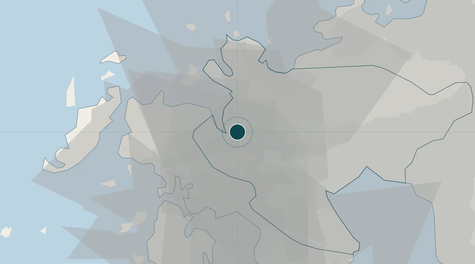
33.2833°, 129.8833°
14.0 m
Channel depth
1
Container terminals
32.4
Port liner connectivity
Channel & Berth Profile
Pilotage, Tugs & Services
Pilotage compulsoryYES
Pilotage availableYES
Pilotage advisableYES
Tug assistanceYES
Shore powerYES
Potable waterYES
Diesel bunkersYES
MedicalYES
Facilities & Capabilities
Container—
Ro-Ro—
Liquid bulk—
Dry bulk—
Oil terminal—
Break bulk—
Dry dockNO
RepairsNO
BunkeringYES
Rail linkYES
Dangerous cargo—
ISPS security—
Harbour Specifications
Harbour size
Very Small
Harbour type
River (Natural)
Shelter
Fair
Water body
Korea Strait; North Pacific Ocean
Tidal range
2 m
Pilotage
Yes
Liner Connectivity
32.4
PLSCI
Port Liner Shipping Connectivity Index for Imari, as published by UNCTAD for the latest available quarter. Higher values indicate stronger scheduled liner-shipping integration.
Shown relative to the highest per-port PLSCI in the dataset (1,657.9).
Location
Container Terminals · 1
IMARI CONTAINER TERMINAL
NS05C IMARI PORT AUTHORITY
Nearby Logistics Neighbours
Ports
- 1Sasebo20 km
- 2Karatsu24 km
- 3Matsu-Shima47 km
- 4Miike Ko59 km
- 5Hakata60 km
Cities
- 1Fukushima, Nagasaki11 km
- 2Tobo23 km
- 3Ureshino Saga24 km
- 4Ogi29 km
- 5Ôshima, Nagasaki35 km
Airports
- 1Nagasaki Airport41 km
- 2Kyushu Saga International Airport42 km
- 3Iki Airport53 km
- 4Fukuoka Airport63 km
- 5Amakusa Airport93 km
DatabookThe Record of Consolidated Knowledge
Japan beyond logistics?