Transport Functions
Multimodal
Hub Profile
Region
41
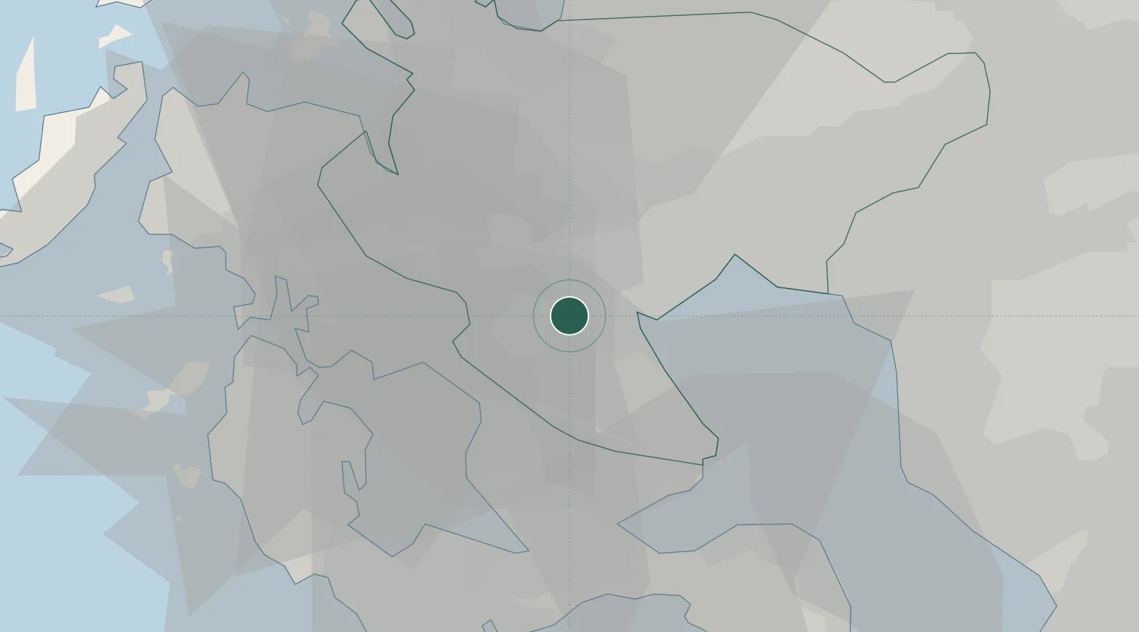
Location
Nearby Logistics Neighbours
Cities
- 1Ogi23 km
- 2Imari29 km
- 3Okawa32 km
- 4Fukushima, Nagasaki35 km
- 5Miike, Fukuoka36 km
Ports
- 1Imari24 km
- 2Sasebo32 km
- 3Miike Ko37 km
- 4Karatsu42 km
- 5Matsu-Shima47 km
Airports
- 1Kyushu Saga International Airport24 km
- 2Nagasaki Airport26 km
- 3Fukuoka Airport64 km
- 4Amakusa Airport71 km
- 5Iki Airport75 km
DatabookThe Record of Consolidated Knowledge
Japan beyond logistics?