UN/LOCODE hub · Japan
JPNGS
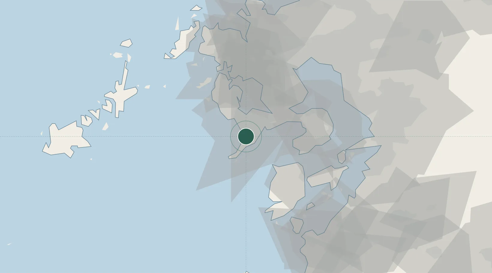
Nagasaki
32.7041°, 129.8429°
409,118
Population
2
Transport functions
1
Container terminals
Transport Functions
Port
Airport
Hub Profile
Place type
Regional capital
Region
Nagasaki
Population
409,118
Time zone
Asia/Tokyo
Elevation
15 m
Logistics facilities
3
Container terminals
1
Location
Nearby Logistics Neighbours
Cities
- 1Saikai31 km
- 2Seto32 km
- 3Takahama/Amakusa40 km
- 4Ôshima, Nagasaki46 km
- 5Ureshino Saga50 km
Ports
- 1Matsu-Shima34 km
- 2Sasebo53 km
- 3Misumi Ko60 km
- 4Miike Ko63 km
- 5Imari65 km
Airports
- 1Nagasaki Airport25 km
- 2Amakusa Airport39 km
- 3Kyushu Saga International Airport66 km
- 4Fukue Airport95 km
- 5Kumamoto Airport96 km
DatabookThe Record of Consolidated Knowledge
Japan beyond logistics?