UN/LOCODE hub · Japan
JPTMG

Tomigusuku, Okinawa

26.1833°, 127.6667°
1
Transport functions

Transport Functions

Multimodal
UN/LOCODE

Hub Profile

Region
47
GeoNames

Location

Location of JPTMG
Natural Earth 10m (public domain) · 47 · JPTMG · 26.18, 127.67GoogleOSMYandex

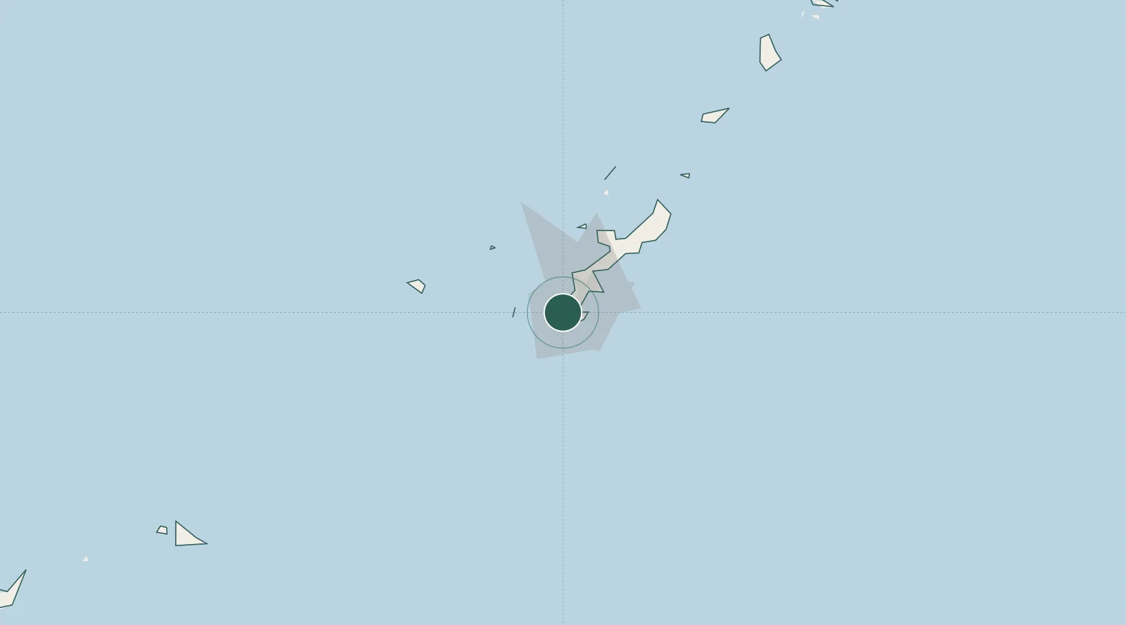
Nearby Logistics Neighbours

Cities
  1. 1Naha, Okinawa6 km
  2. 2Urazoe, Okinawa8 km
  3. 3Urasoe9 km
  4. 4Chatan16 km
  5. 5Gushikawa27 km
Nearest neighbours — logibook spatial index (haversine) over the source coordinates
Ports
  1. 1Naha Ko4 km
  2. 2Nishihara14 km
  3. 3Nakagusuku27 km
  4. 4Kin Wan35 km
  5. 5Hirara Ko284 km
Nearest neighbours — logibook spatial index (haversine) over the source coordinates
Airports
  1. 1Naha International Airport3 km
  2. 2Futenma Marine Corps Air Station14 km
  3. 3Kadena Air Base21 km
  4. 4Iejima Airport61 km
  5. 5Aguni Airport62 km
Nearest neighbours — logibook spatial index (haversine) over the source coordinates
Trade Zones
  1. 1Okinawa Prefecture Special Zone for Life Science Industry25 km
  2. 2Port Of Keelung Free Trade Zone604 km
  3. 3Port Of Suao Free Trade Zone609 km
  4. 4Port Of Taipei Free Trade Zone640 km
  5. 5Taoyuan International Airport Free Trade Zone657 km
Nearest neighbours — logibook spatial index (haversine) over the source coordinates
DatabookThe Record of Consolidated Knowledge
Japan beyond logistics?
Browse databook

All Sources

LocationsUN/LOCODE
UN/LOCODE — free
Portsthe NGA World Port Index
Public domain (US gov)
AirportsOurAirports
Public domain
Trade Zonesthe World Bank SEZ database
CC BY 4.0
Trade ZonesOpen Zone Map
CC BY
← Japan locations